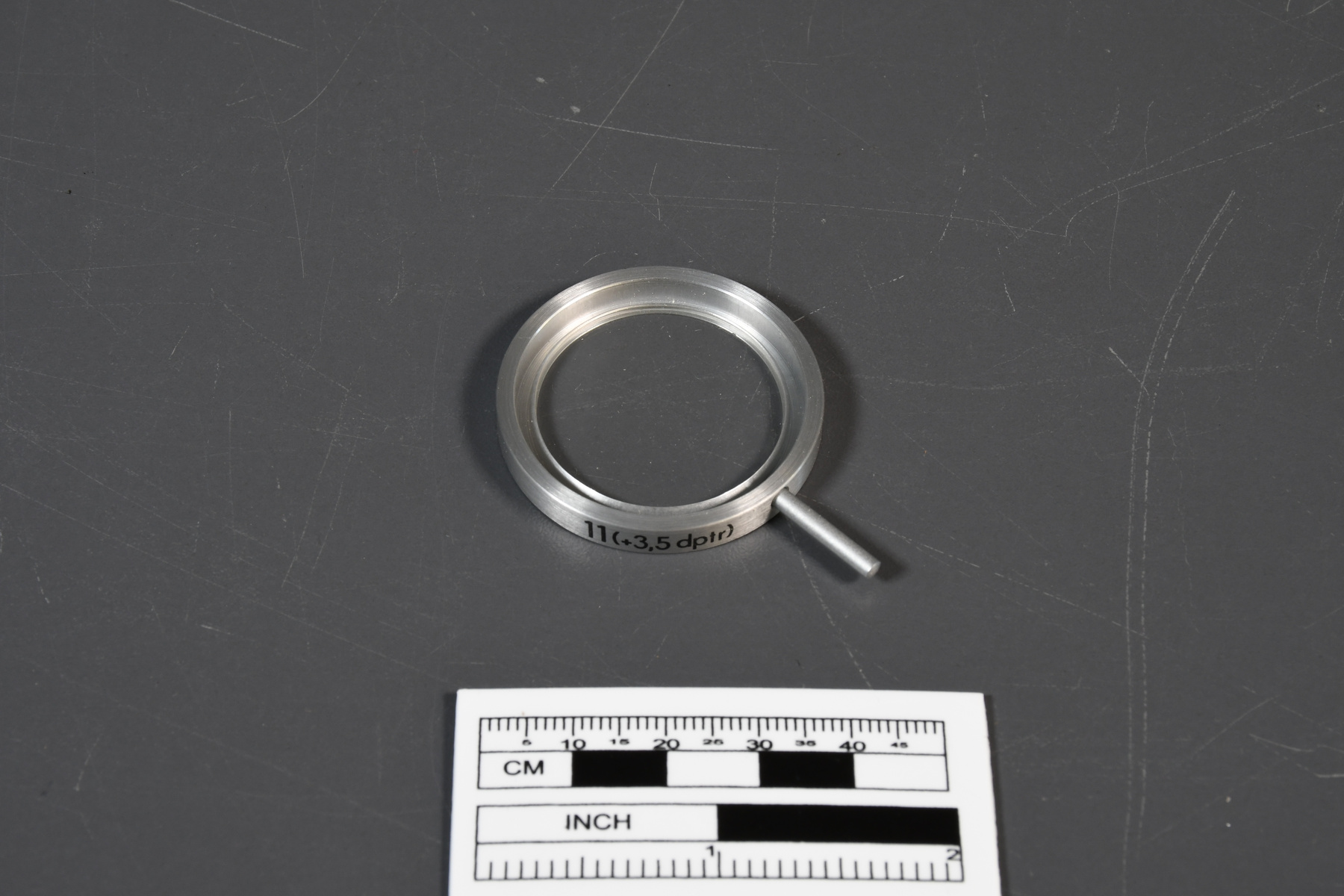
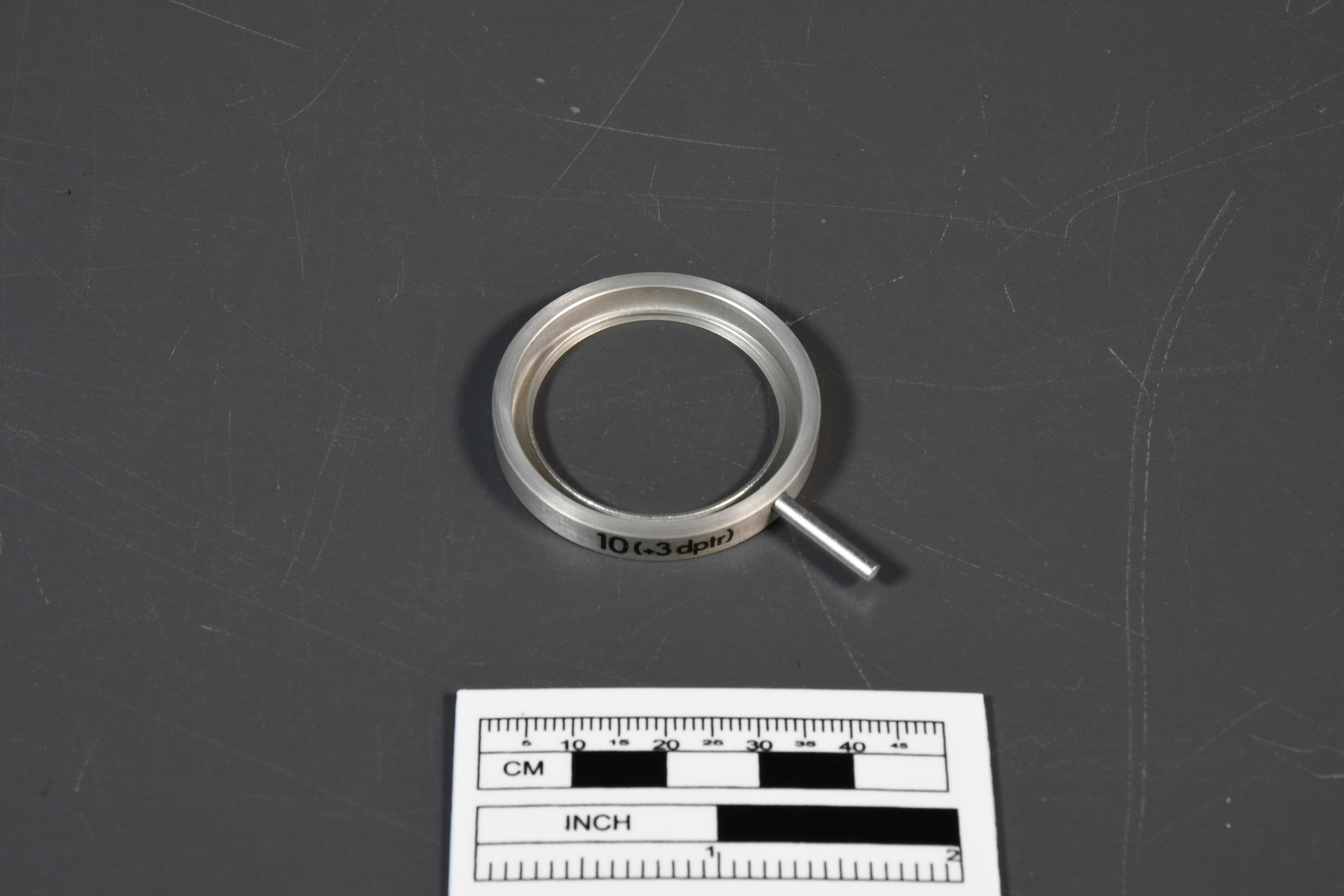
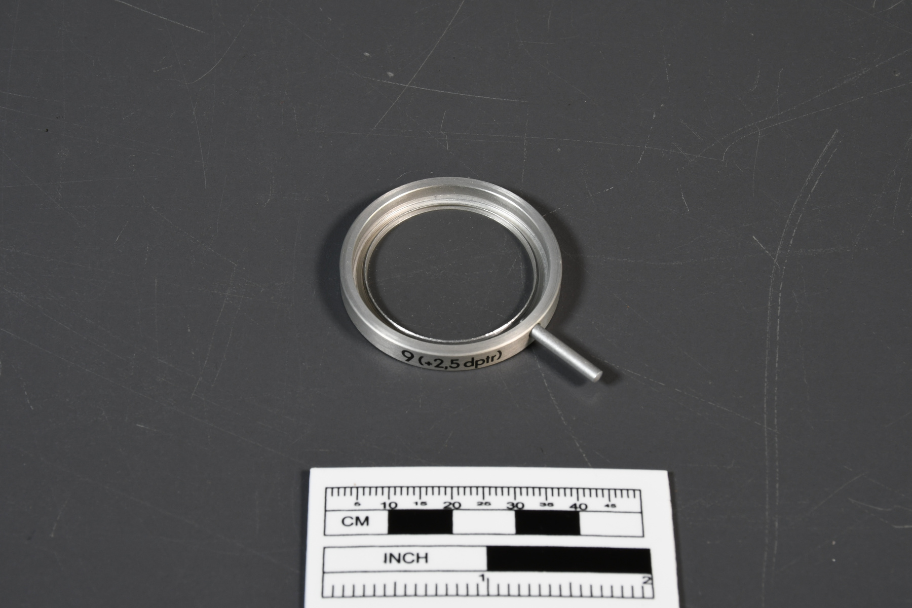
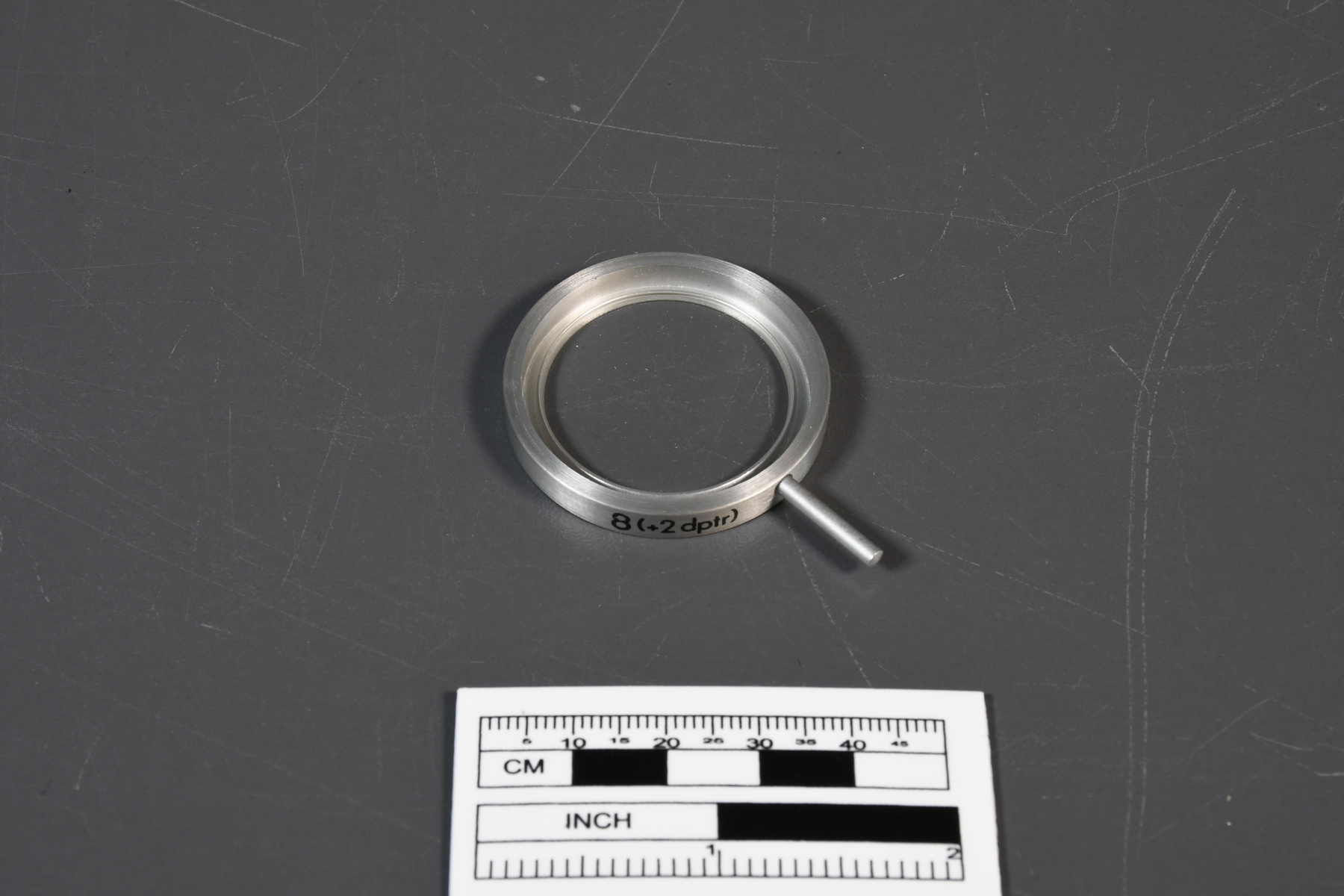
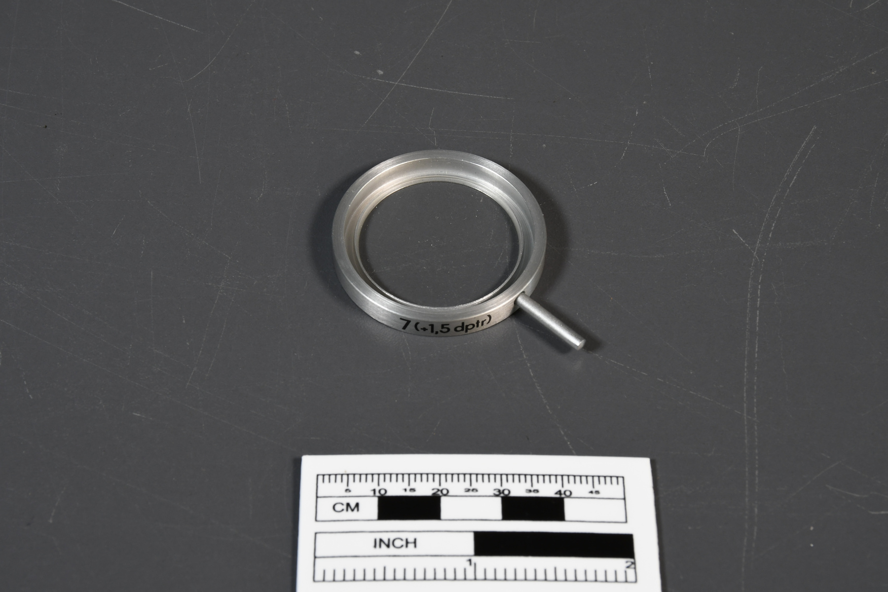
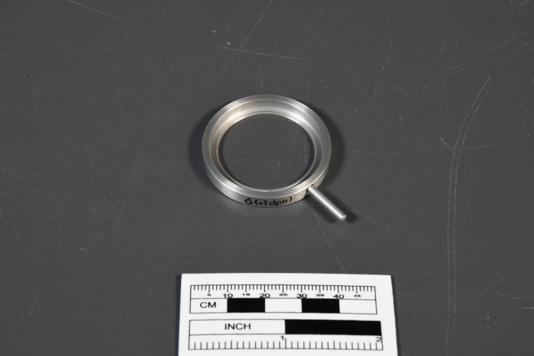
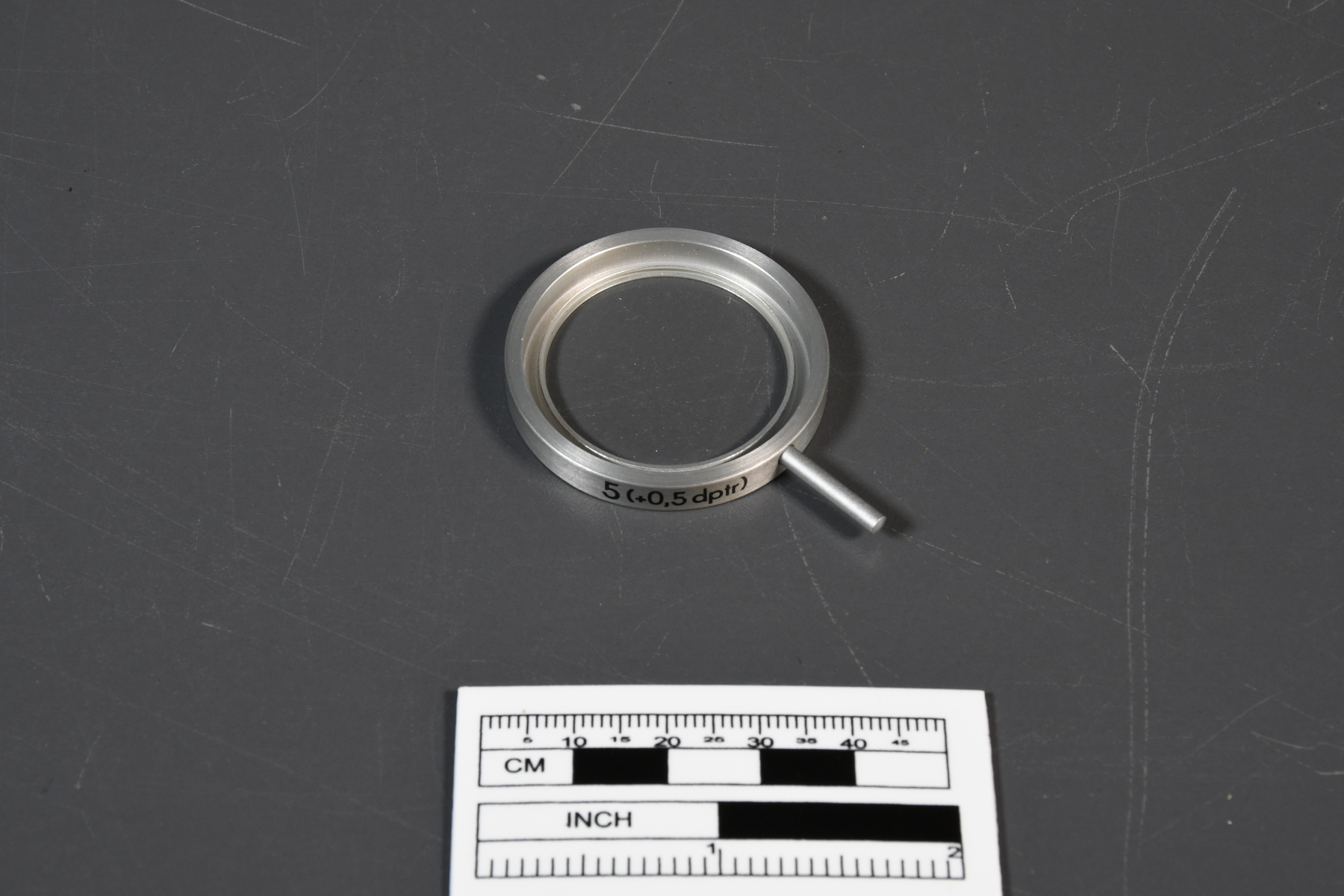
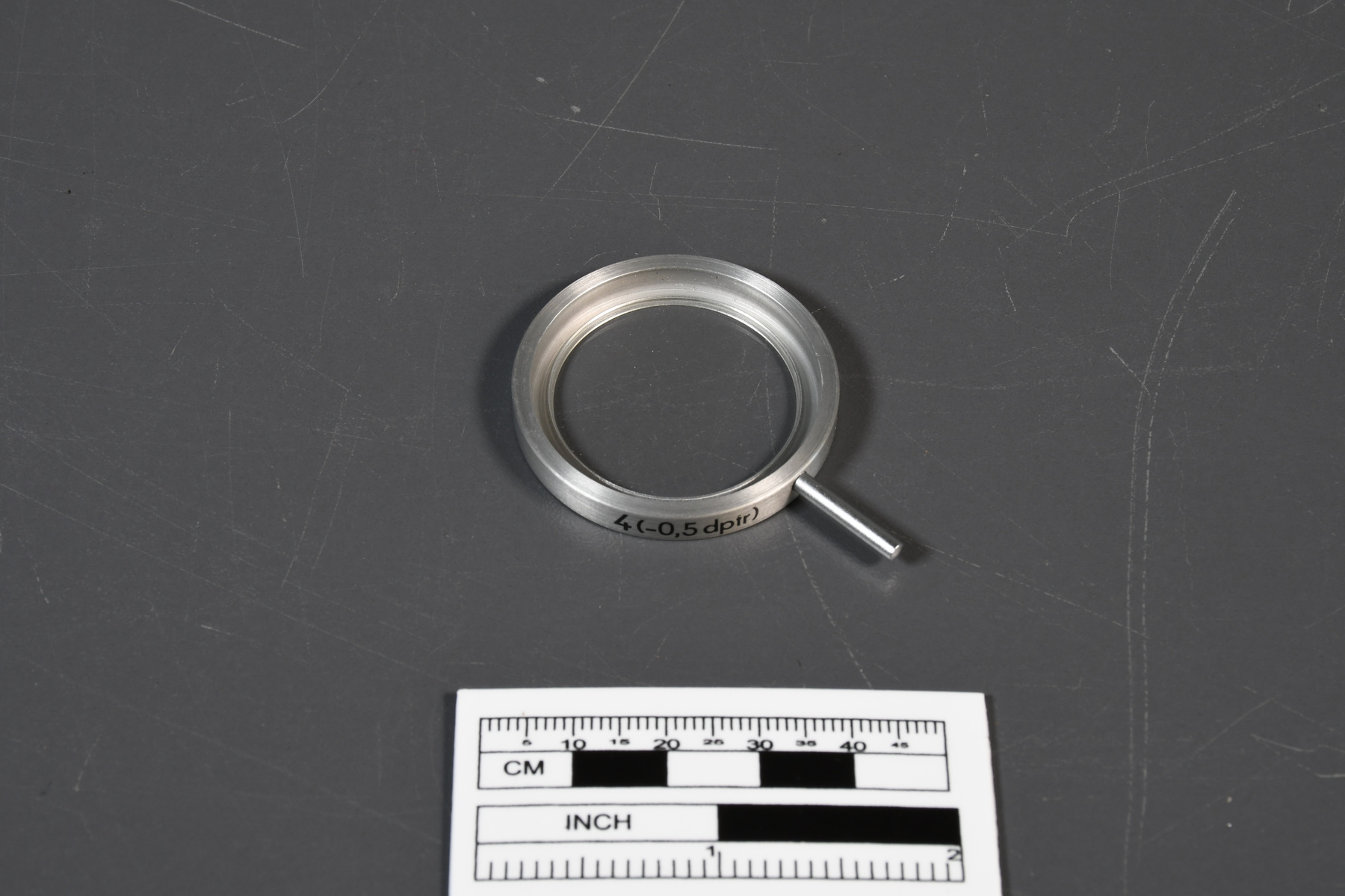
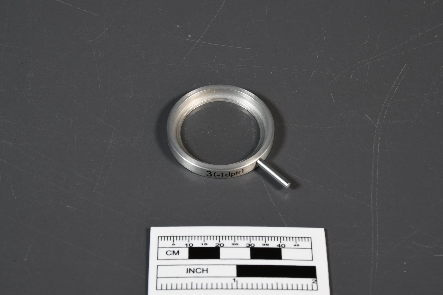
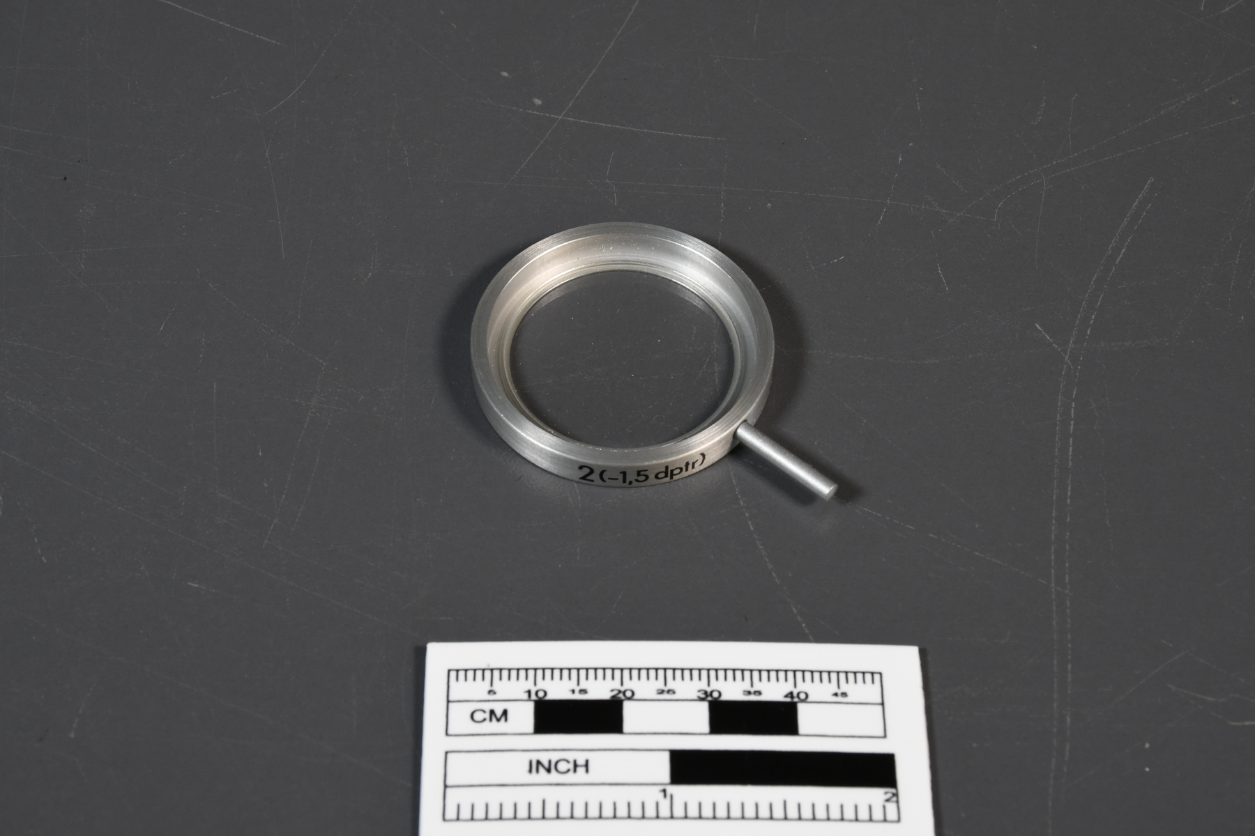
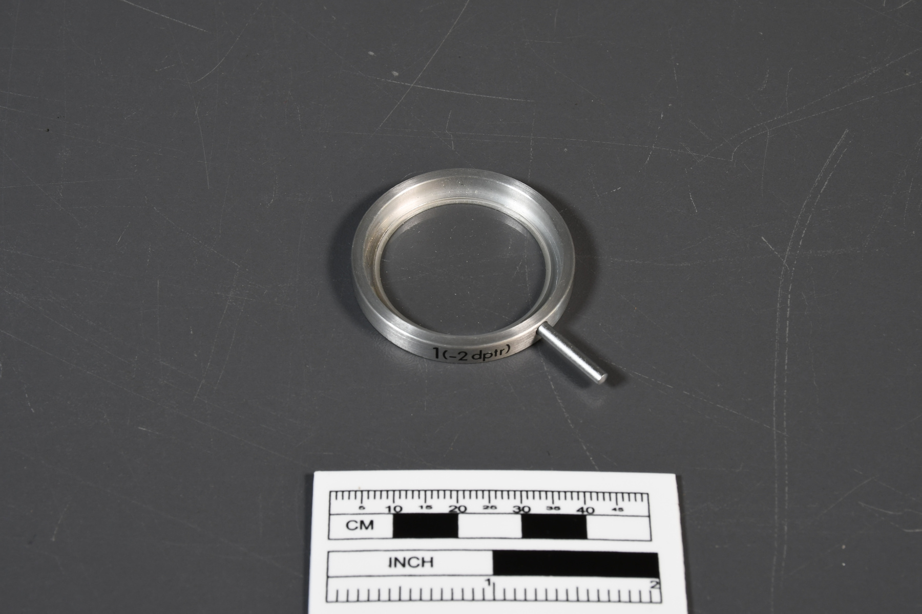
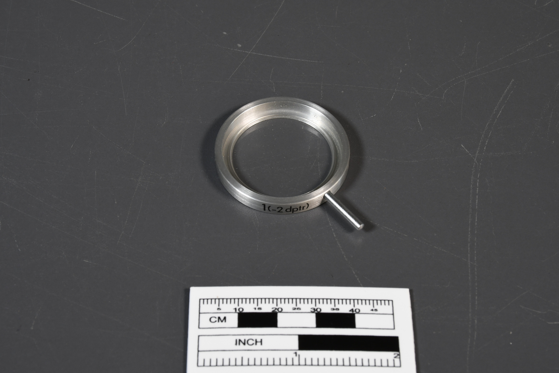
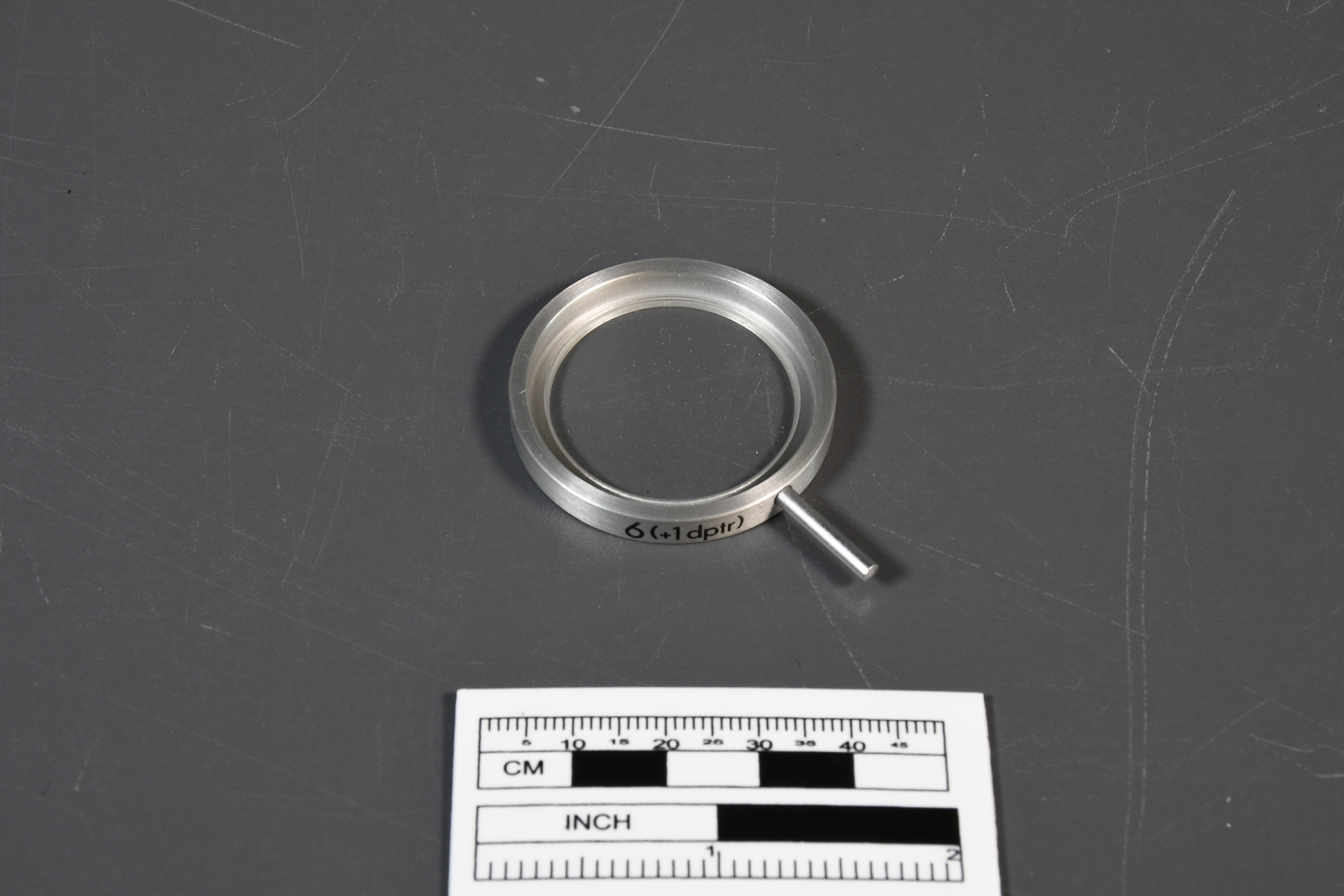
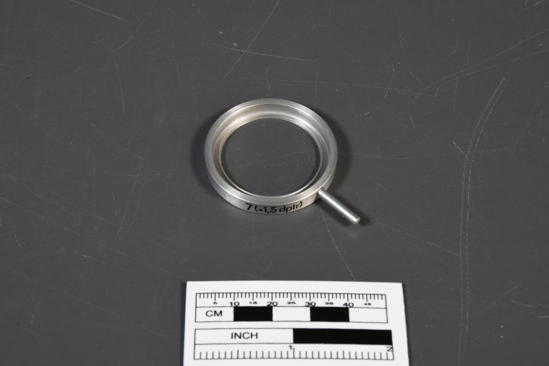
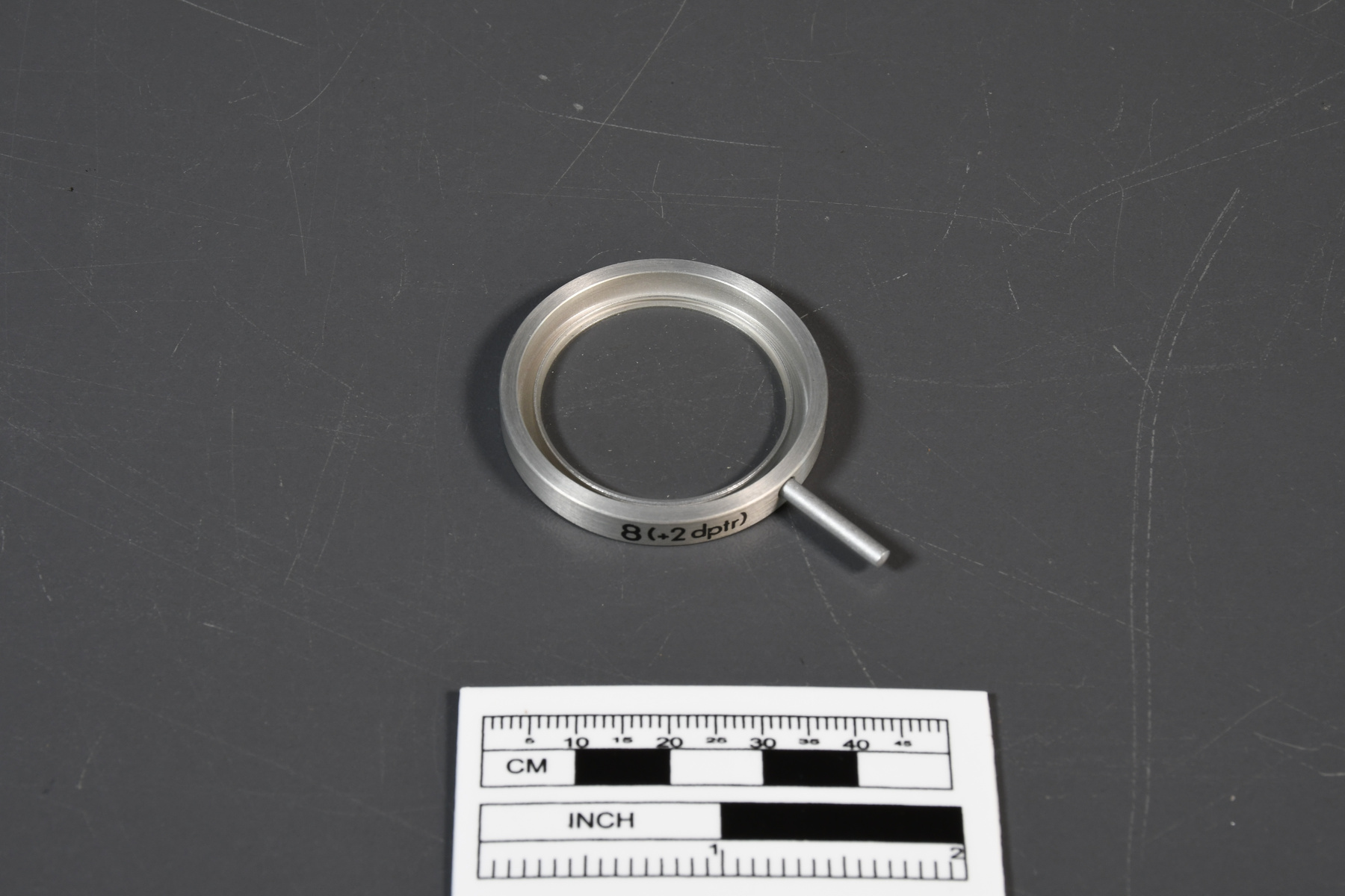
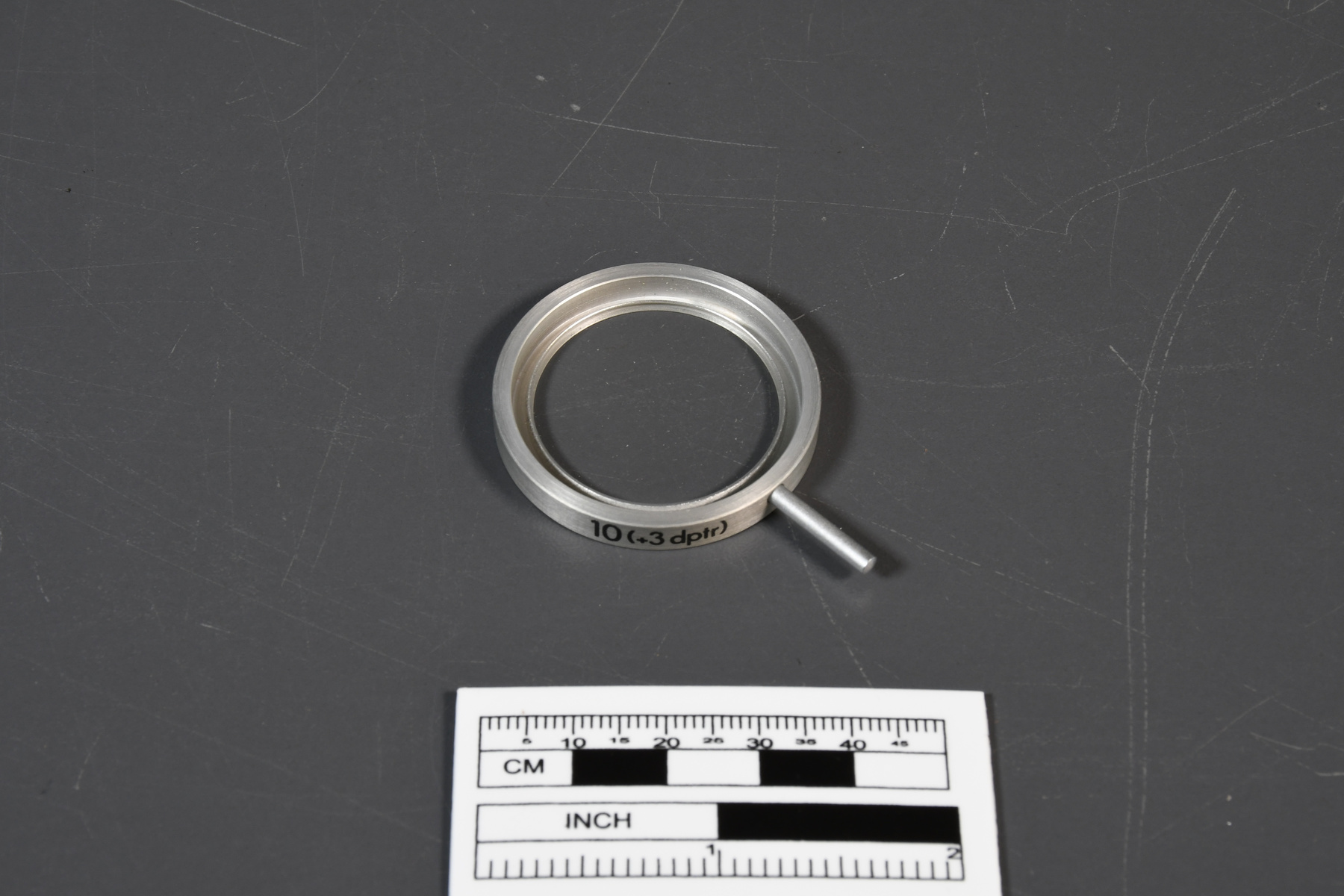
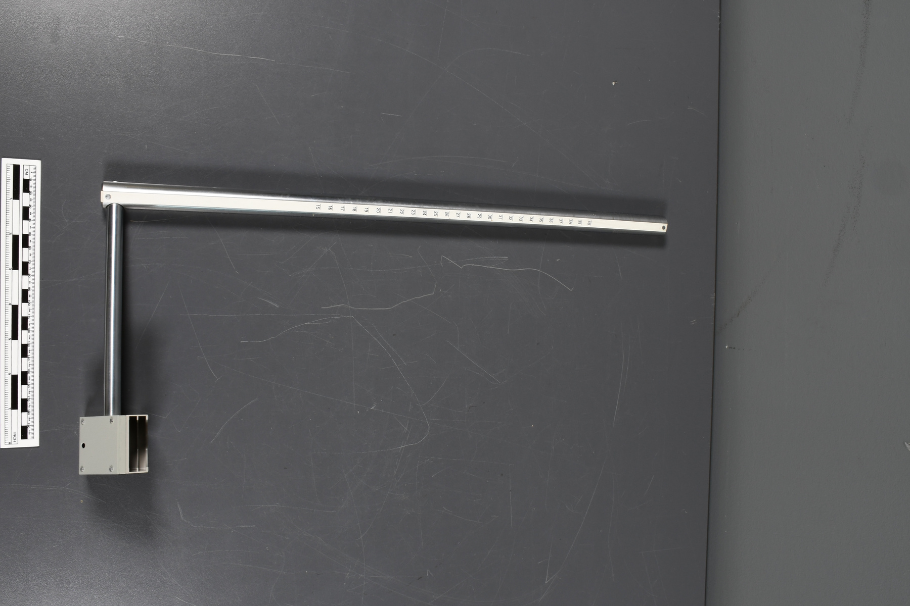
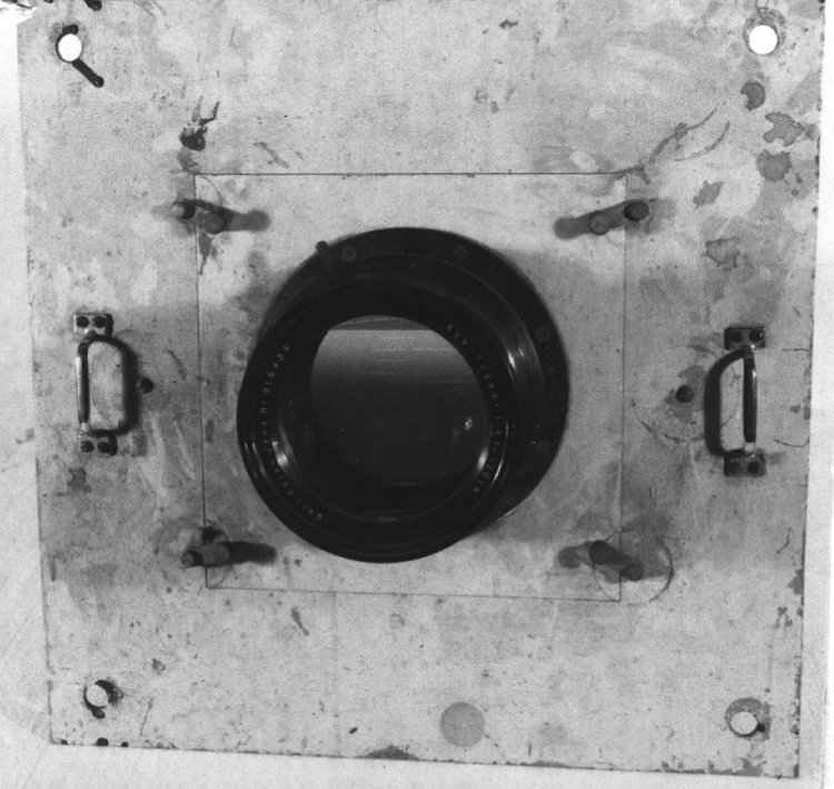
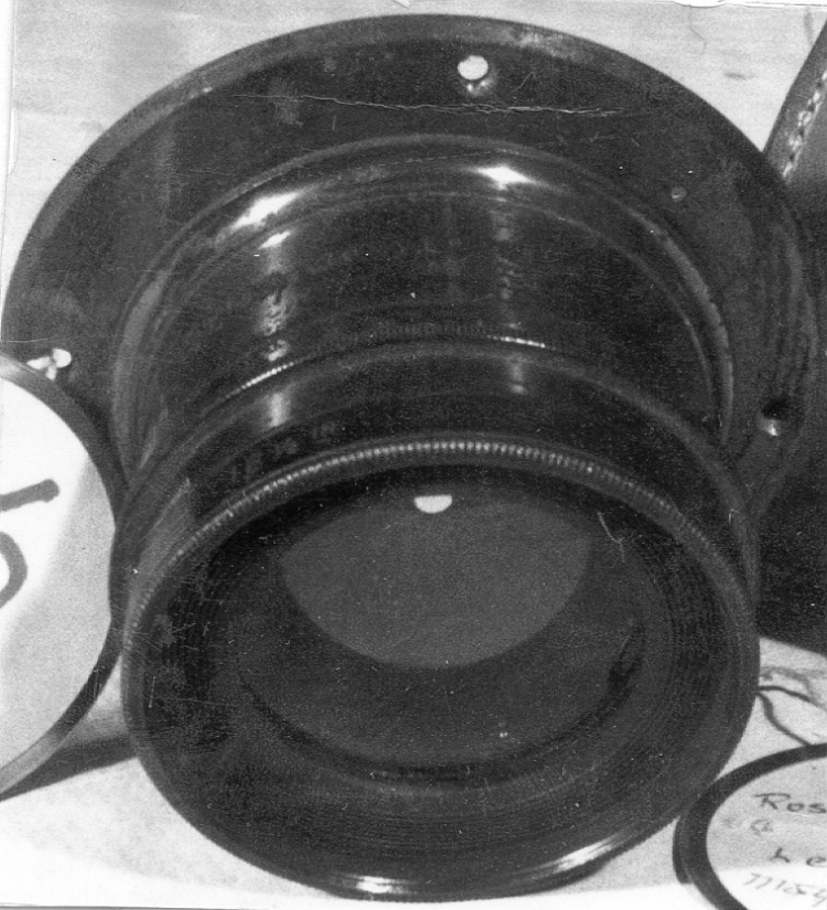
Lens
Use this image
Can I reuse this image without permission? Yes
Object images on the Ingenium Collection’s portal have the following Creative Commons license:
Copyright Ingenium / CC BY-NC-ND (Attribution-NonCommercial 4.0 International (CC BY-NC 4.0)
ATTRIBUTE THIS IMAGE
Ingenium,
2008.1845.010
Permalink:
Ingenium is releasing this image under the Creative Commons licensing framework, and encourages downloading and reuse for non-commercial purposes. Please acknowledge Ingenium and cite the artifact number.
DOWNLOAD IMAGEPURCHASE THIS IMAGE
This image is free for non-commercial use.
For commercial use, please consult our Reproduction Fees and contact us to purchase the image.
- OBJECT TYPE
- N/A
- DATE
- 1980
- ARTIFACT NUMBER
- 2008.1845.010
- MANUFACTURER
- Zeiss, Carl
- MODEL
- 12
- LOCATION
- Jena, German Democratic Republic
More Information
General Information
- Serial #
- N/A
- Part Number
- 10
- Total Parts
- 43
- AKA
- N/A
- Patents
- N/A
- General Description
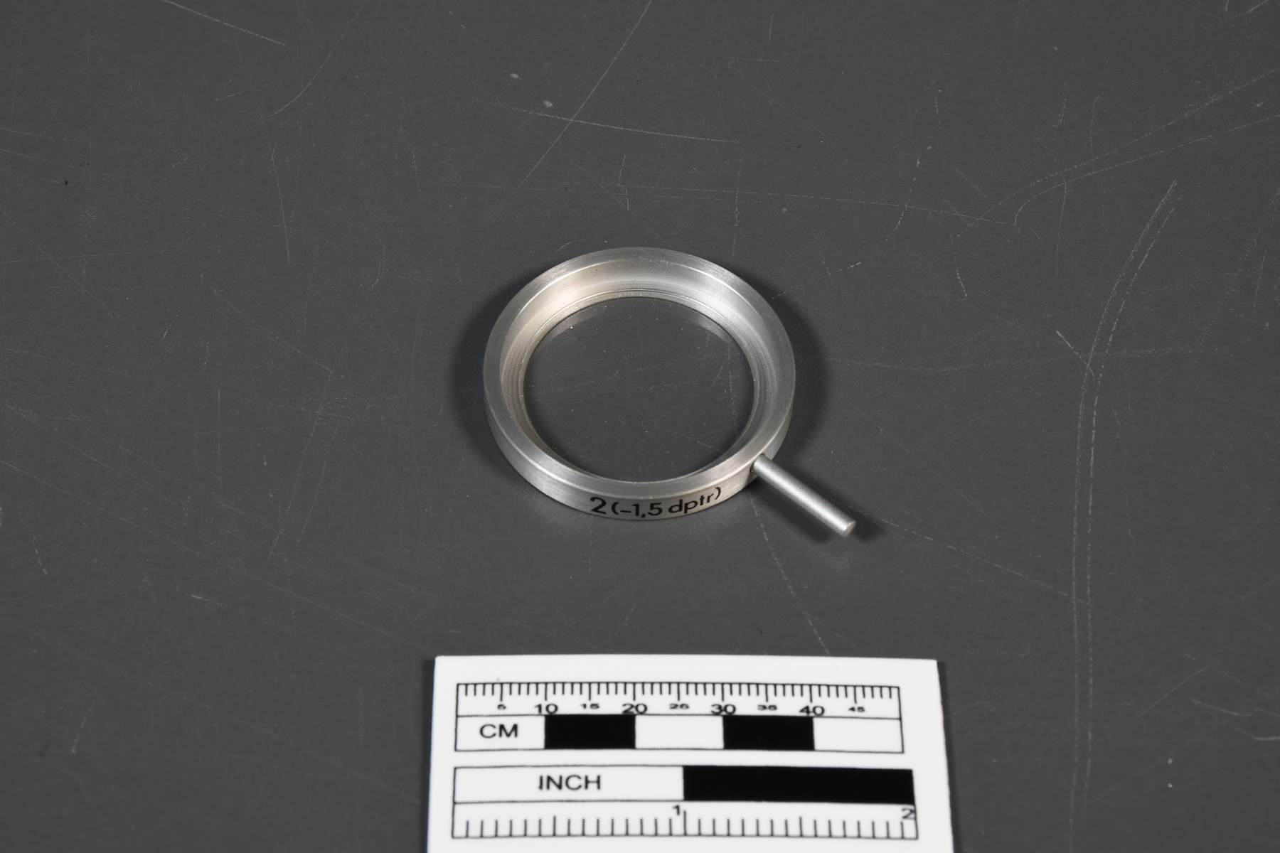
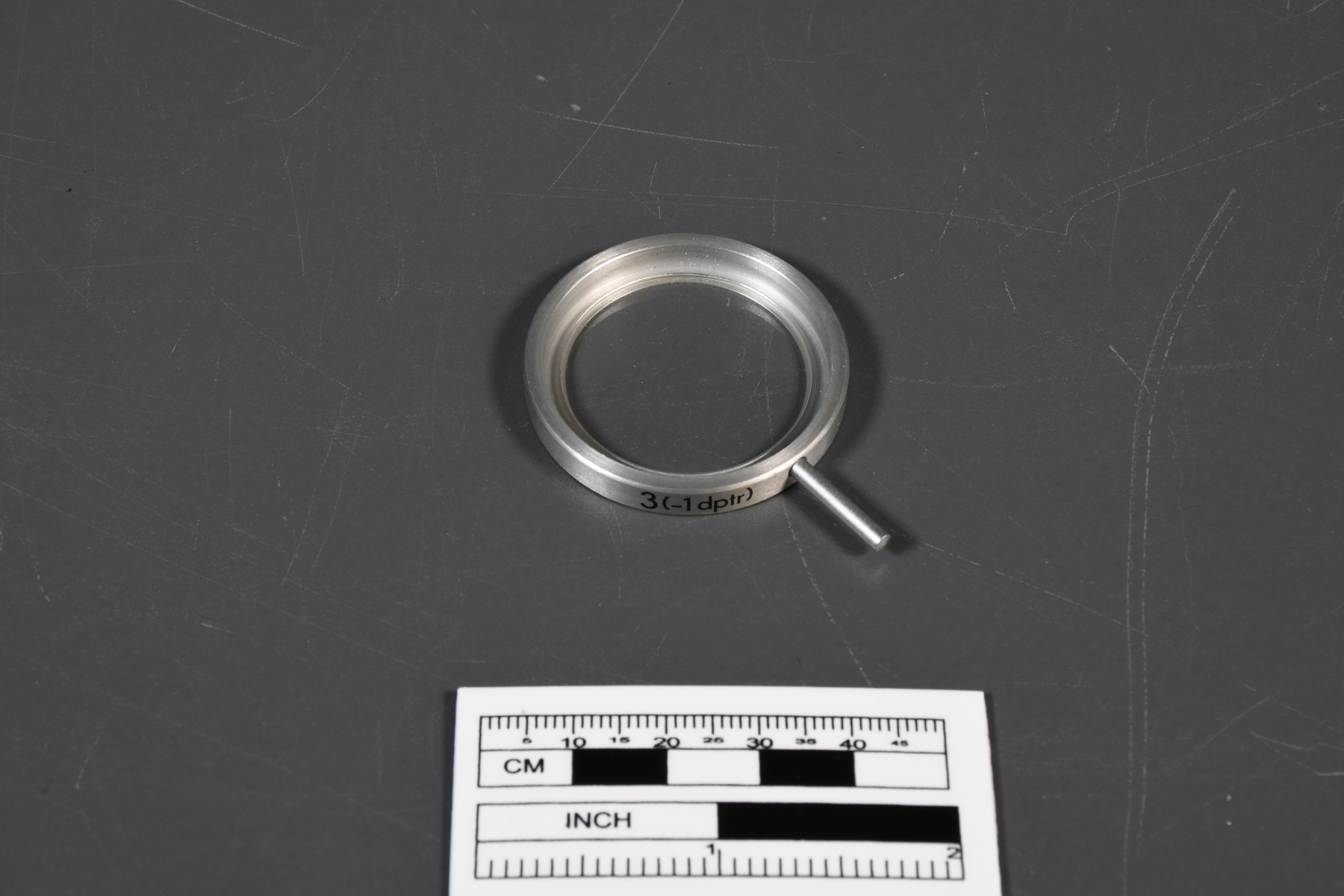
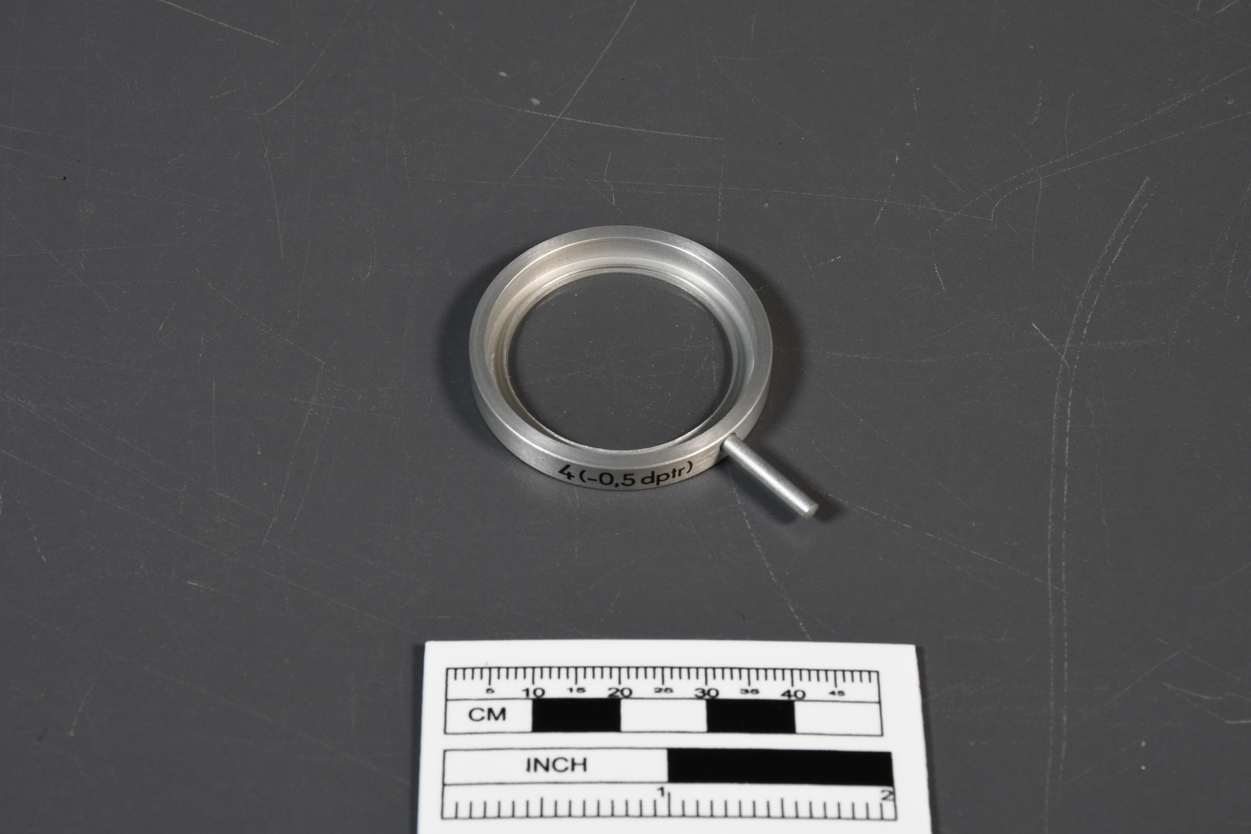
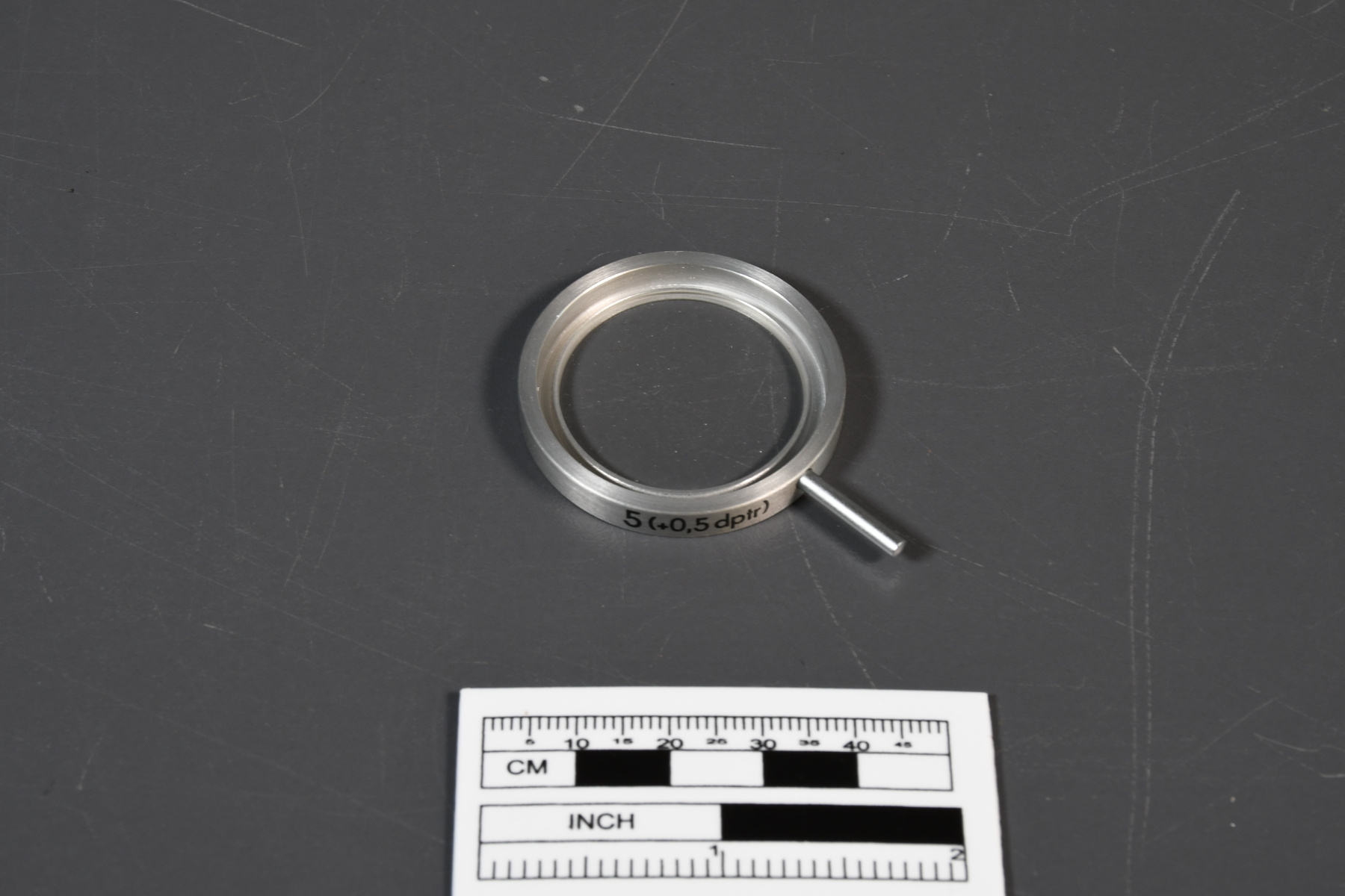
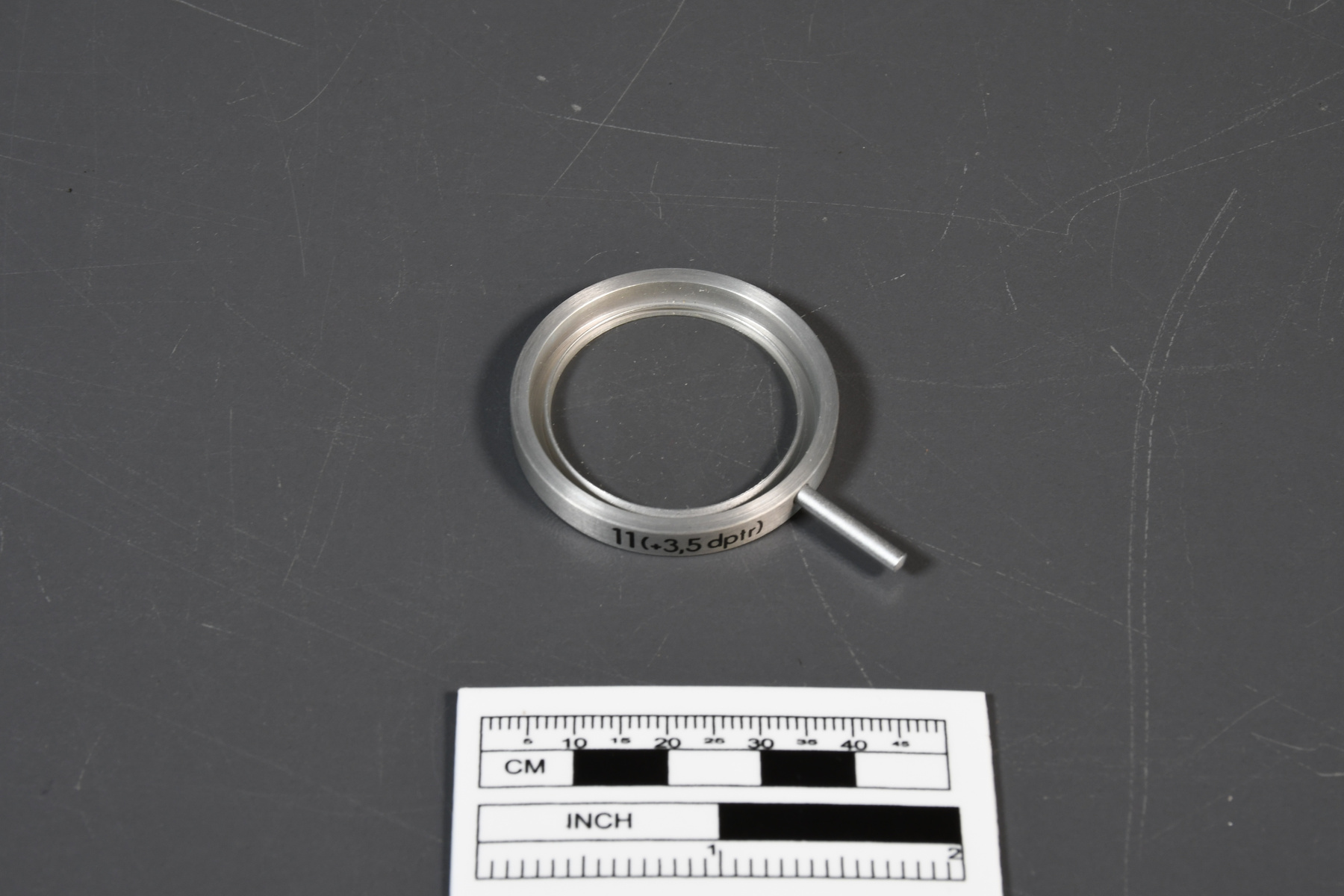
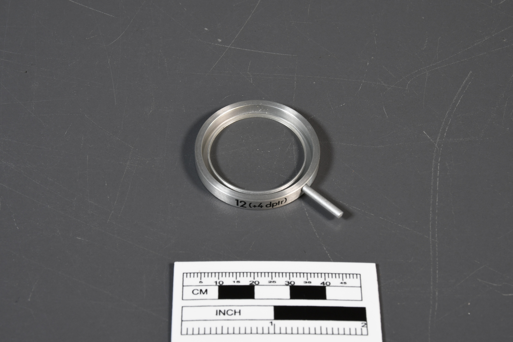
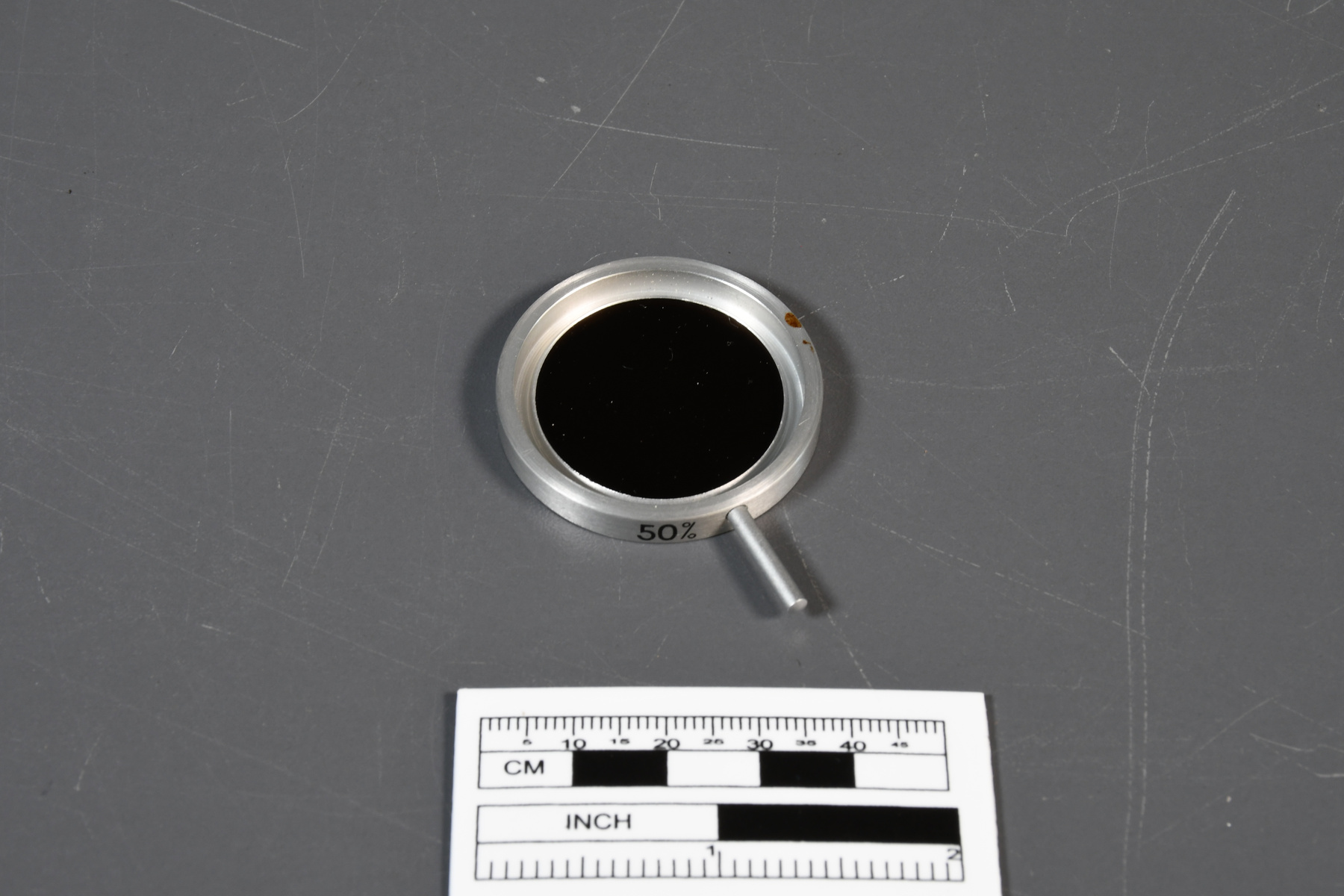
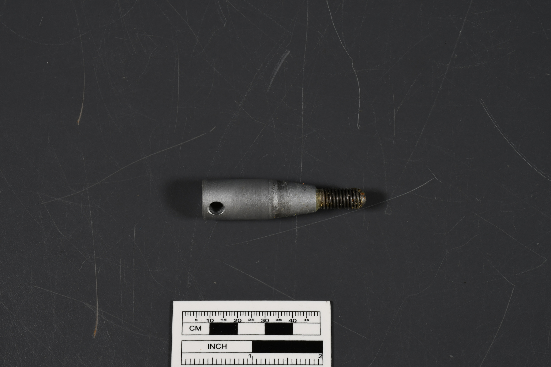
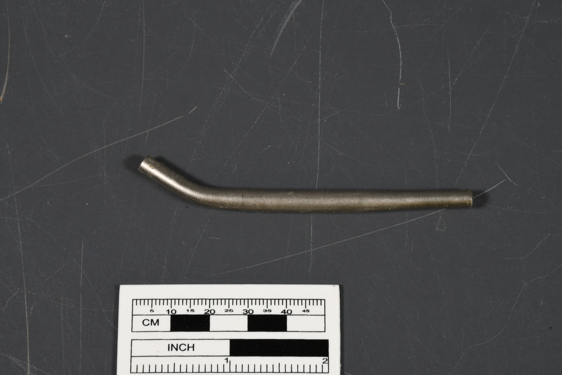
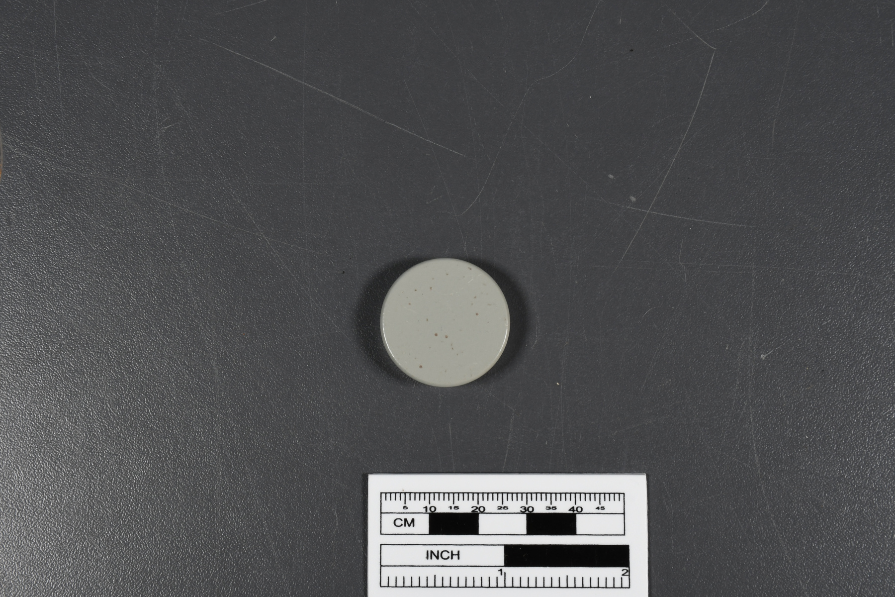
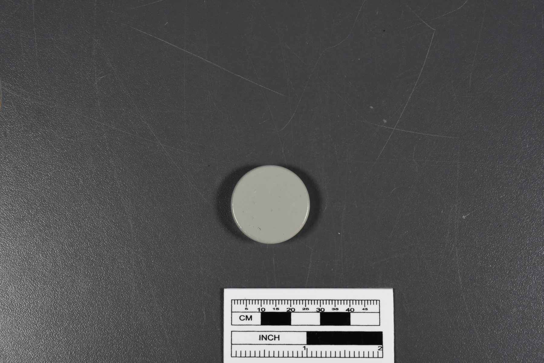
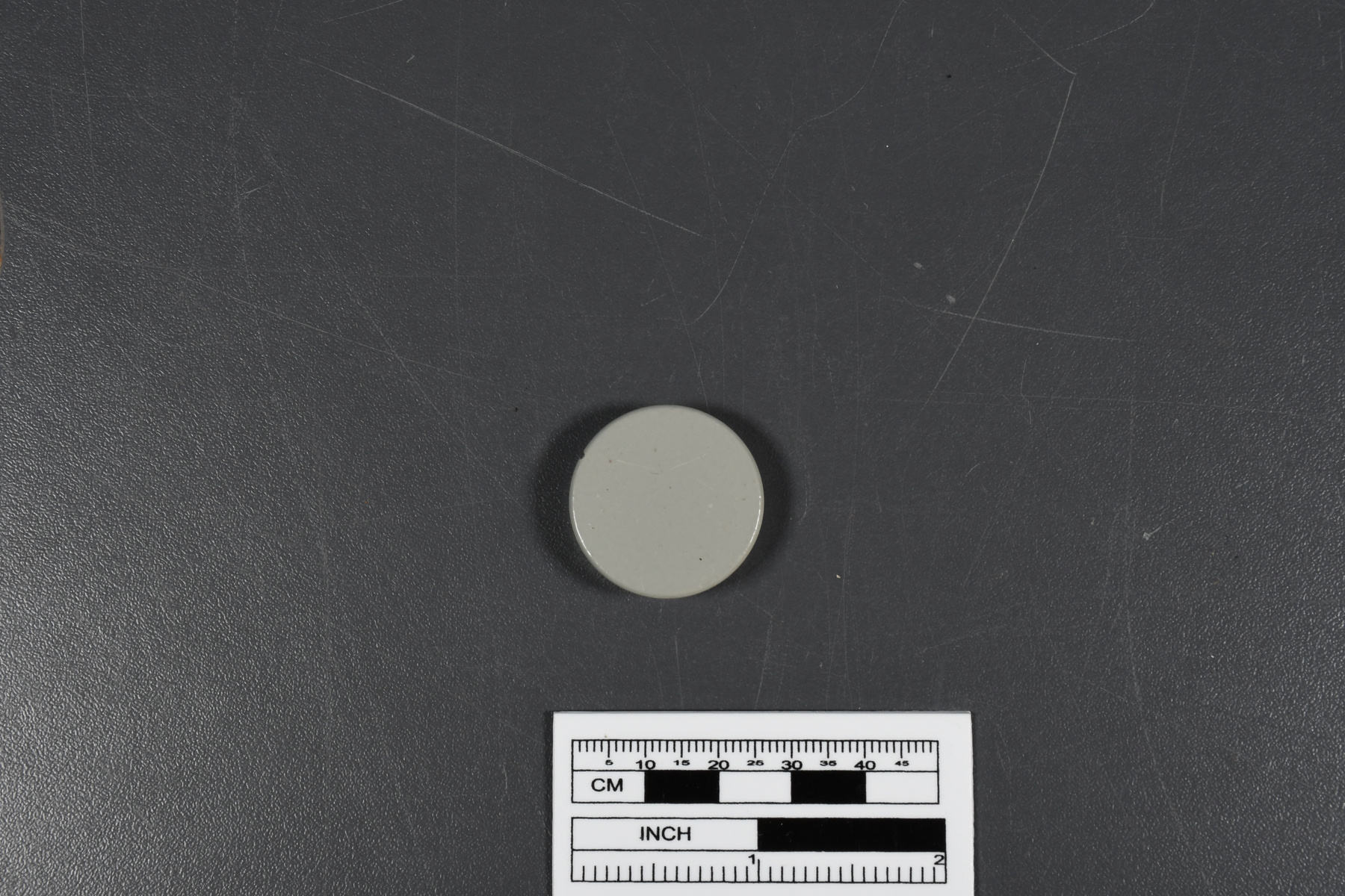
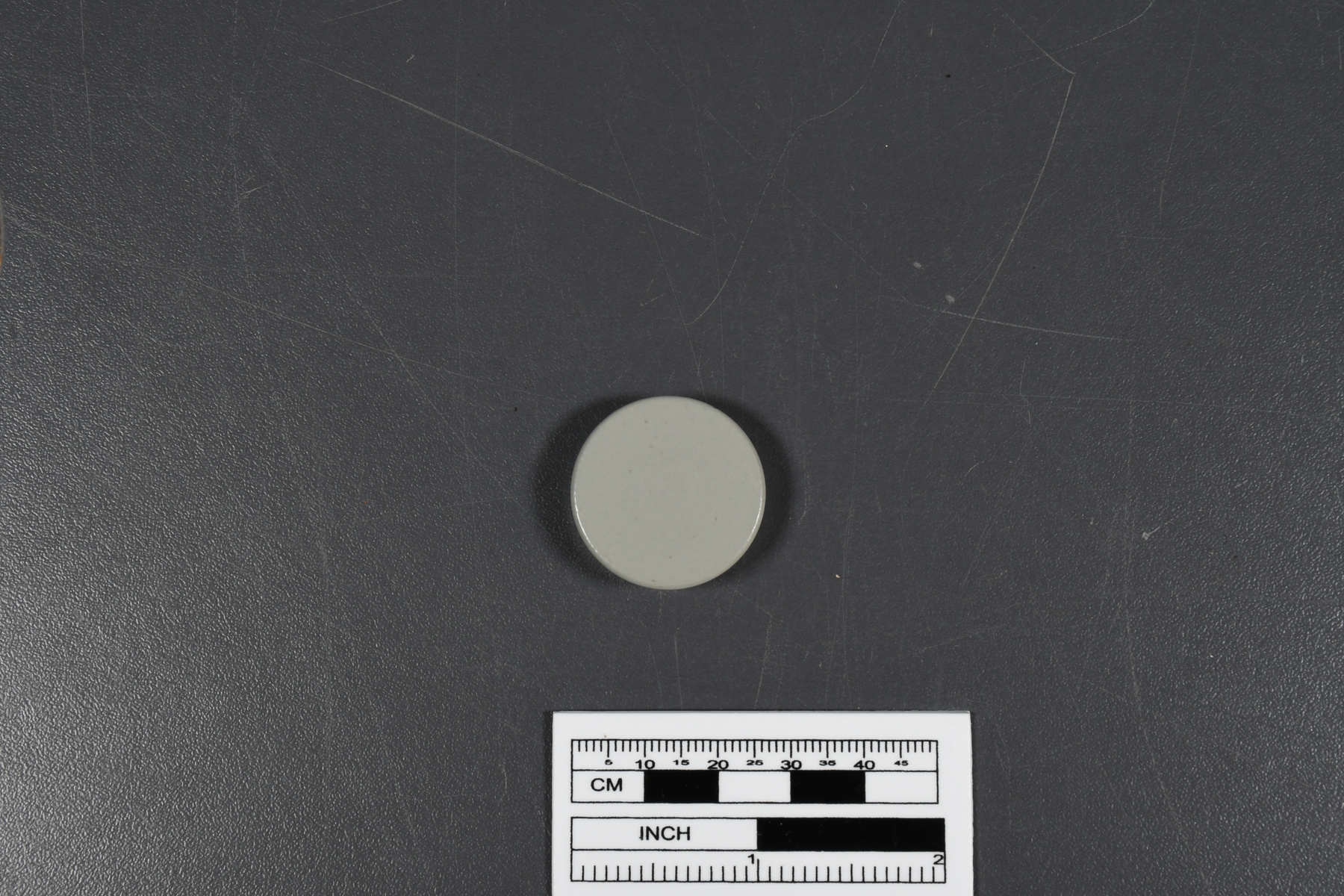
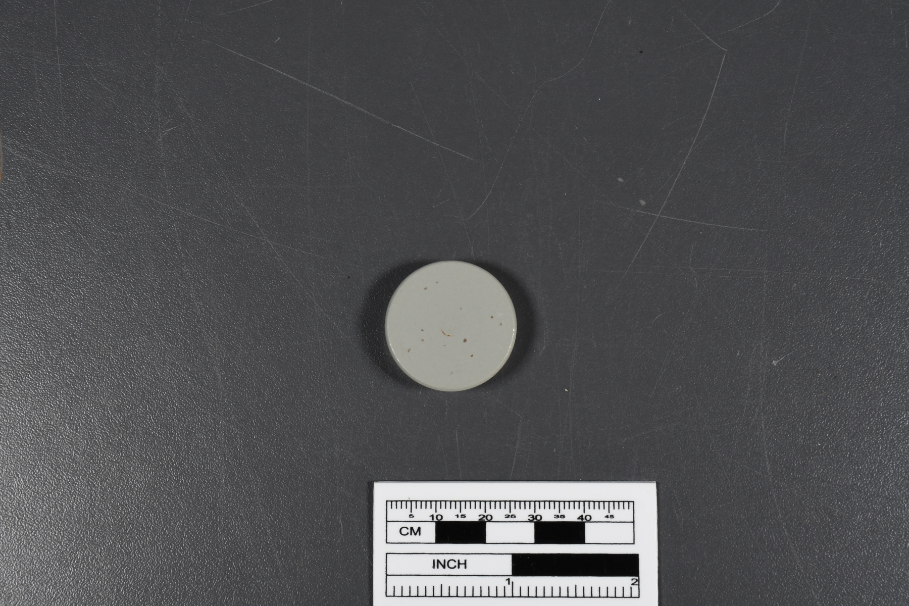
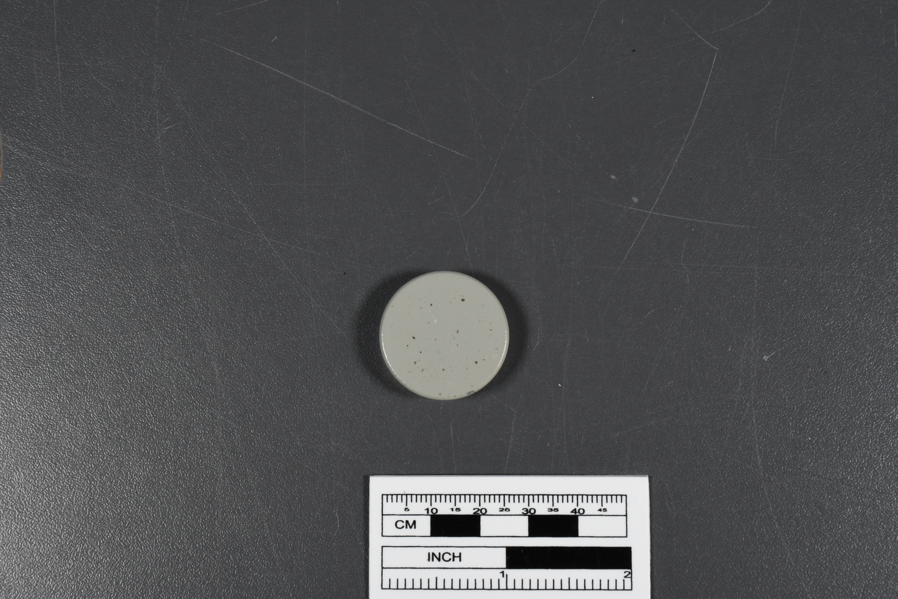
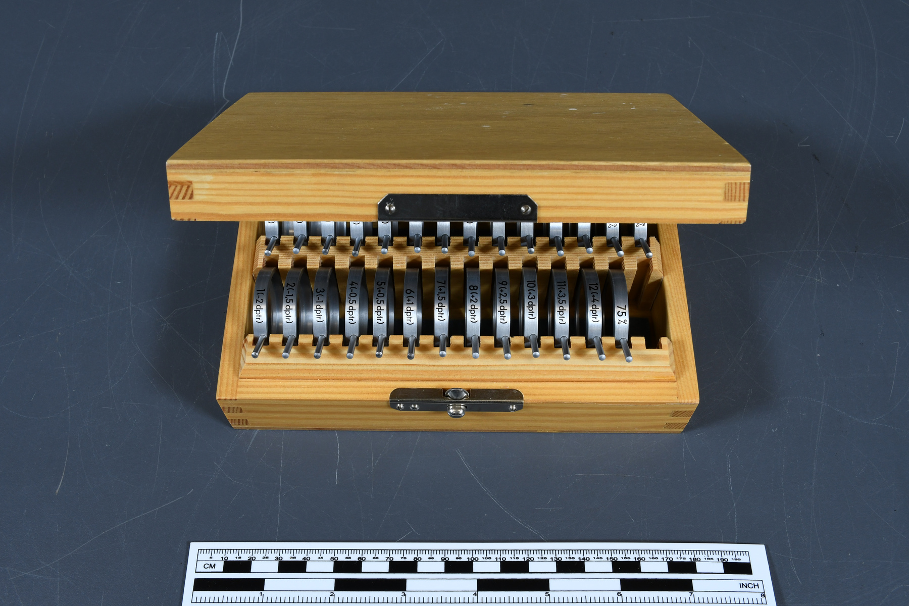
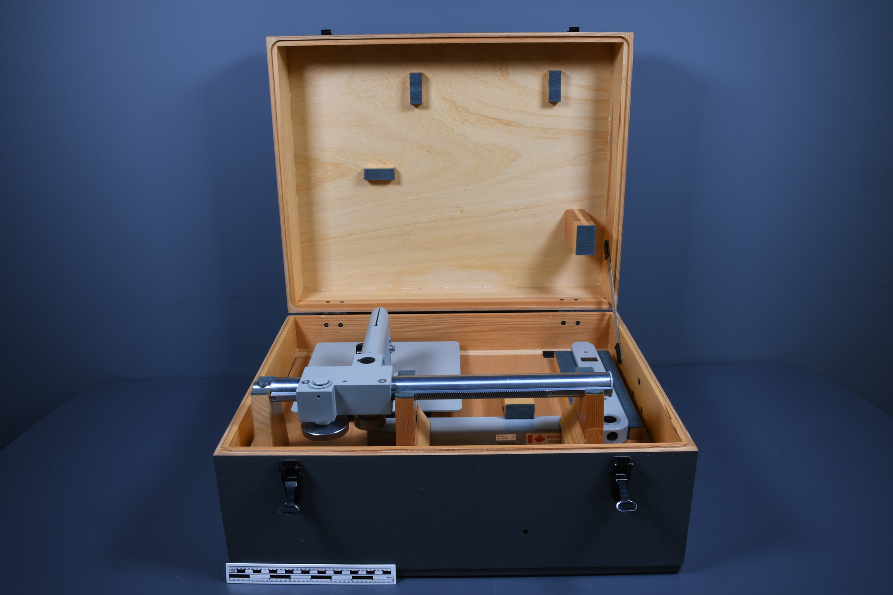
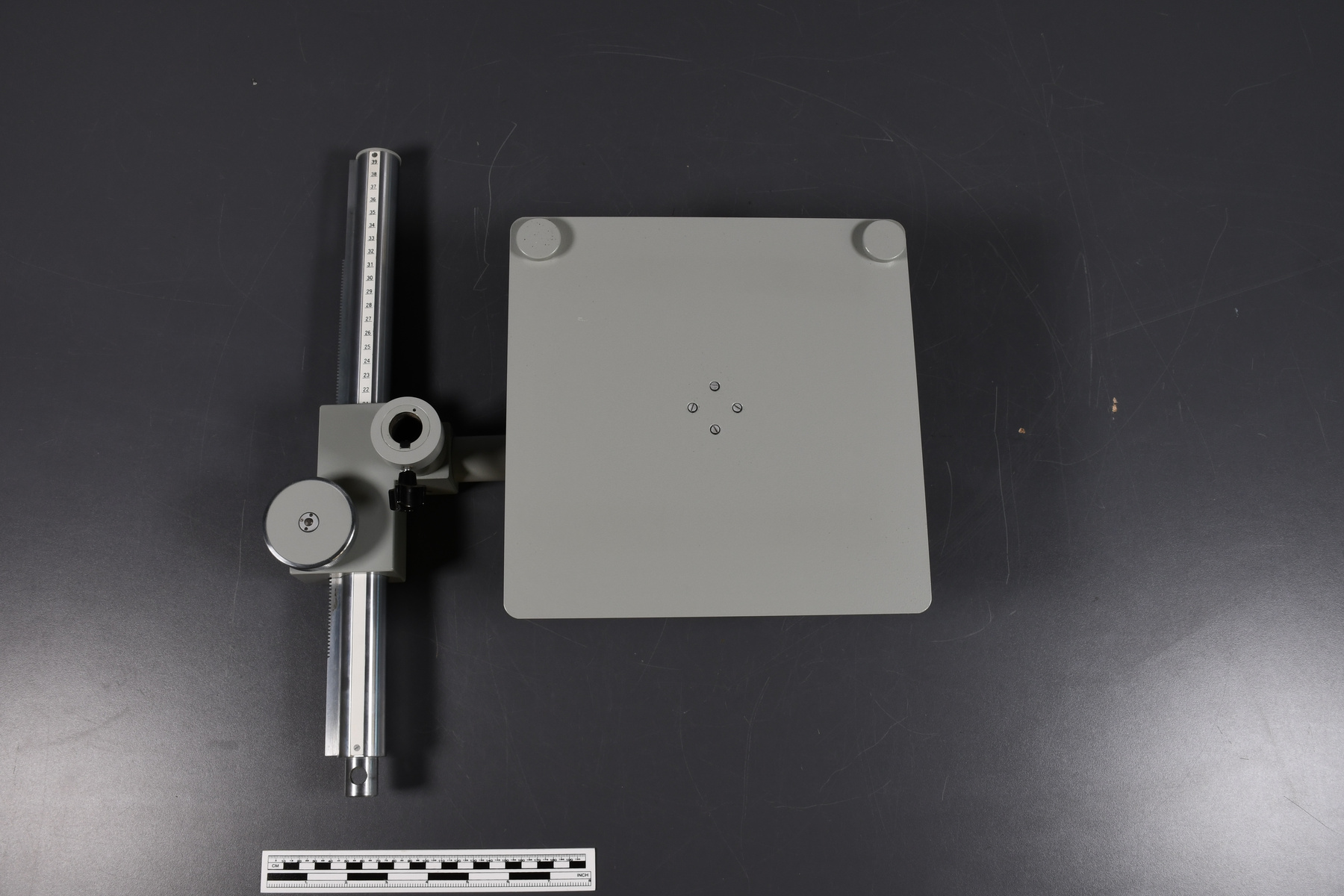
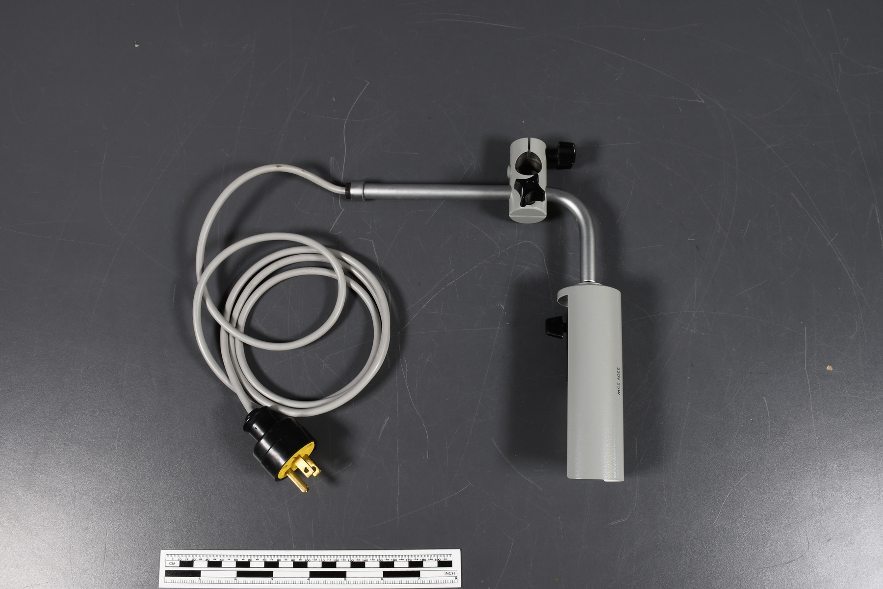
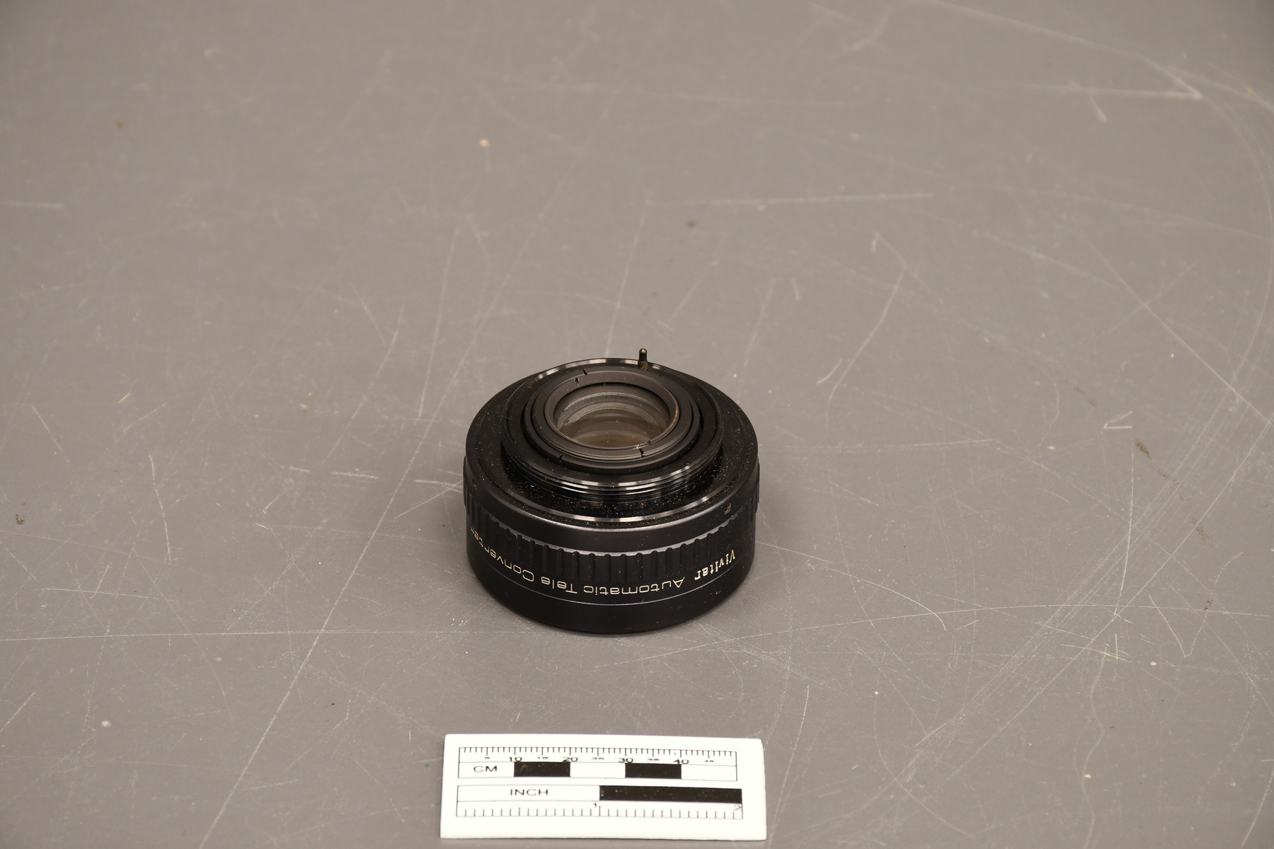
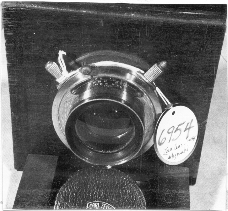
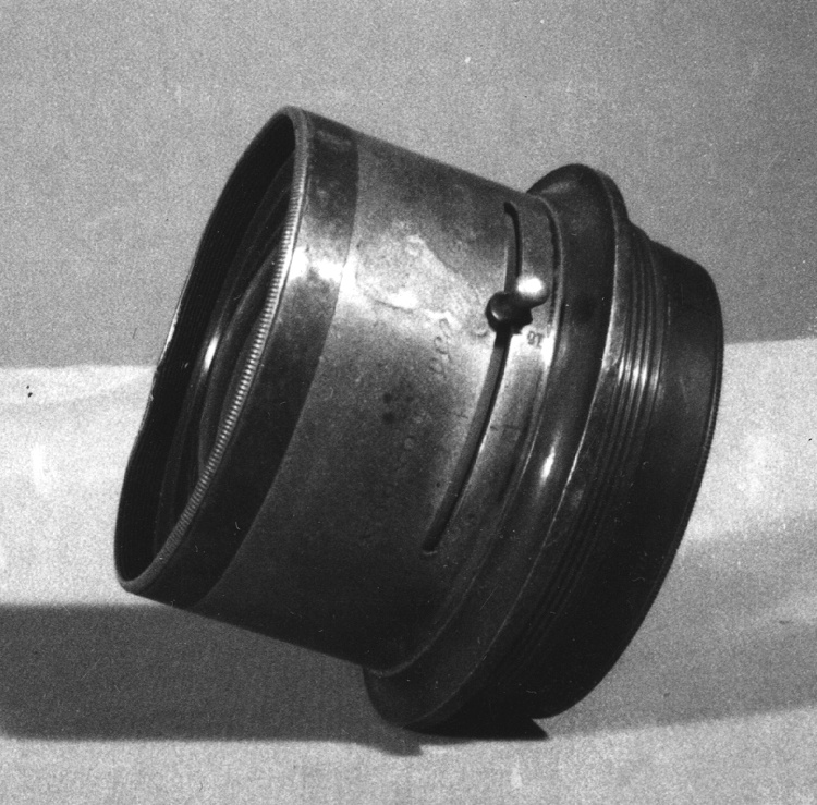
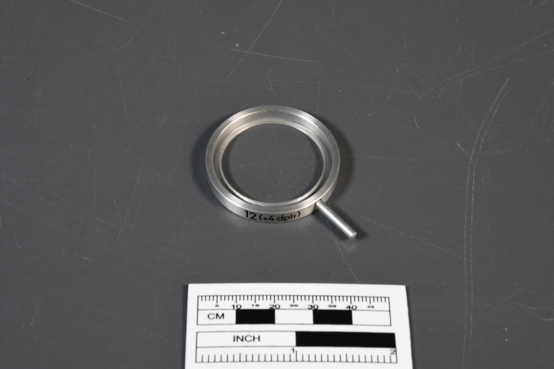
- Supplementary lens used with the aerial photograph converter. Lentille supplémentaire utilisé avec le convertisseur de photographie aérienne.
Dimensions
Note: These reflect the general size for storage and are not necessarily representative of the object's true dimensions.
- Length
- 5.2 cm
- Width
- N/A
- Height
- N/A
- Thickness
- N/A
- Weight
- N/A
- Diameter
- 3.7 cm
- Volume
- N/A
Lexicon
- Group
- Exploration and Survey
- Category
- Photogrammetry
- Sub-Category
- N/A
Manufacturer
- AKA
- Zeiss
- Country
- German Democratic Republic
- State/Province
- Unknown
- City
- Jena
Context
- Country
- Unknown
- State/Province
- Unknown
- Period
- Used throughout the 1980s. Utilisé à travers les années 1980.
- Canada
-
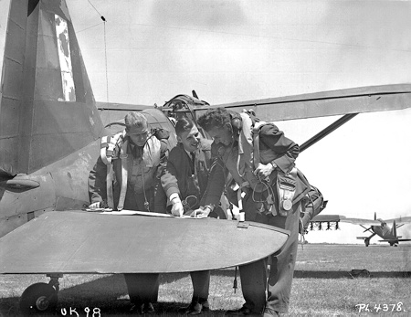
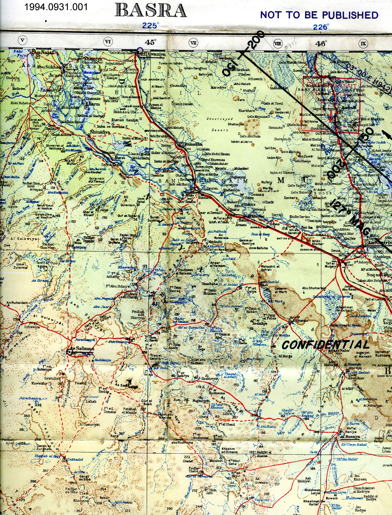
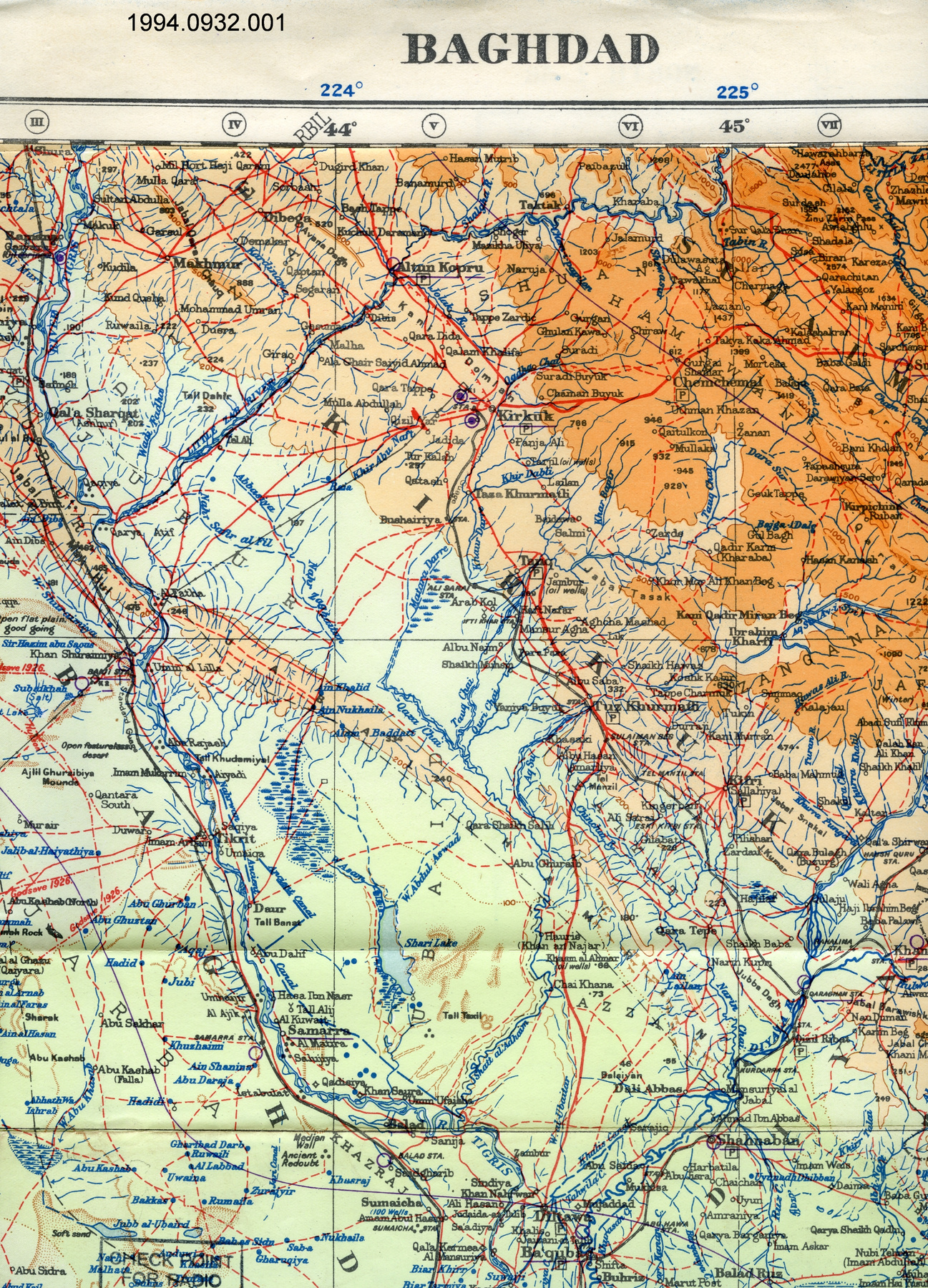
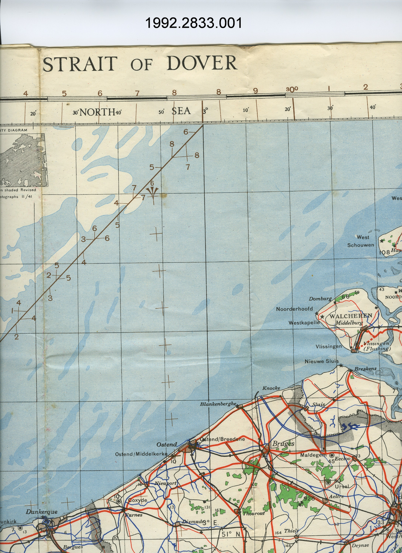
Used for mapping in the Northwest Territories by Indian and Northern Affairs. The revision and completion of maps by the direct plotting of topographical details from vertical and low oblique aerial photographs, is one of the tasks most frequently occurring for topographical purposes. Utilisé en cartographie par les Affaires autochtones et du Nord Canada. L'actualisation et l'achèvement des cartes par pointage de cartes de détails topographiques venant de photographes aériennes verticales ou photographie oblique basse sont l'une des tâches les plus fréquentes dans le champ de topographie. - Function
-
Used to magnify the size of the image when using the aerial photograph converter. Utilisé pour amplifier la largeur de l'image lorsqu'on utilise le convertisseur de photographie aérienne. - Technical
-
Typical technology used before computerized mapping. The apparatus is fitted with various setting and manipulating controls which provide a means of rectifying the photograph to eliminate any distortion caused by, and in consequence of the photographic direction deviating from the vertical; and also to match the scale of the aerial-photograph, within certain limits, to the scale of the map. Technologie typique utilisée avant la cartographie automatisée. Cet appareil est équipé avec différents paramètres et contrôles de manipulations qui permet des moyens de redresser la photographe en éliminant n'importe quelle distorsion et en raison de la direction photographie s'écartant de la verticale; ainsi que d'apairrer l'échelle du convertisseur en certaines limites à l'échelle de la carte. - Area Notes
-
Unknown
Details
- Markings
- On the silver metal rim: " 12 (+4 DPTR) "
- Missing
- Appears complete.
- Finish
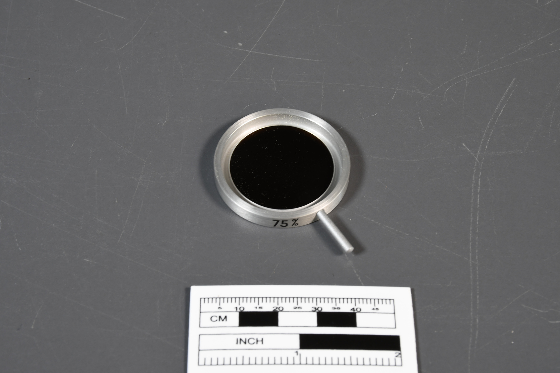
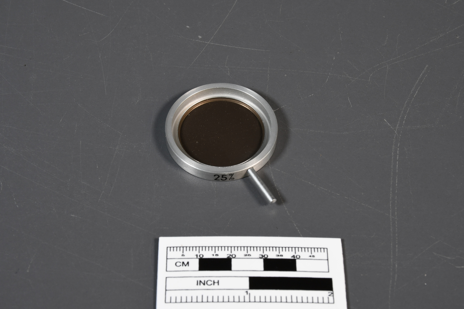
- Circular glass lens with a silver metal rim and a small handle. The silver metal rim has some black text.
- Decoration
- N/A
CITE THIS OBJECT
If you choose to share our information about this collection object, please cite:
Zeiss, Carl, Lens, circa 1980, Artifact no. 2008.1845, Ingenium – Canada’s Museums of Science and Innovation, http://collection.ingeniumcanada.org/en/item/2008.1845.010/
FEEDBACK
Submit a question or comment about this artifact.
More Like This
