Renard
Utiliser cette image
Puis-je réutiliser cette image sans autorisation? Oui
Les images sur le portail de la collection d’Ingenium ont la licence Creative Commons suivante :
Copyright Ingenium / CC BY-NC-ND (Attribution-NonCommercial 4.0 International (CC BY-NC 4.0)
ATTRIBUER CETTE IMAGE
Ingenium,
2018.0112.001
Permalien:
Ingenium diffuse cette image sous le cadre de licence Creative Commons et encourage son téléchargement et sa réutilisation à des fins non commerciales. Veuillez mentionner Ingenium et citer le numéro de l’artefact.
TÉLÉCHARGER L’IMAGEACHETER CETTE IMAGE
Cette image peut être utilisée gratuitement pour des fins non commerciales.
Pour un usage commercial, veuillez consulter nos frais de reproduction et communiquer avec nous pour acheter l’image.
- TYPE D’OBJET
- S/O
- DATE
- 1850
- NUMÉRO DE L’ARTEFACT
- 2018.0112.001
- FABRICANT
- Inconnu
- MODÈLE
- Inconnu
- EMPLACEMENT
- Unknown
Plus d’information
Renseignements généraux
- Nº de série
- S/O
- Nº de partie
- 1
- Nombre total de parties
- 1
- Ou
- S/O
- Brevets
- S/O
- Description générale
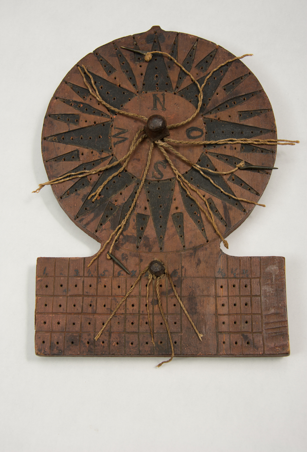
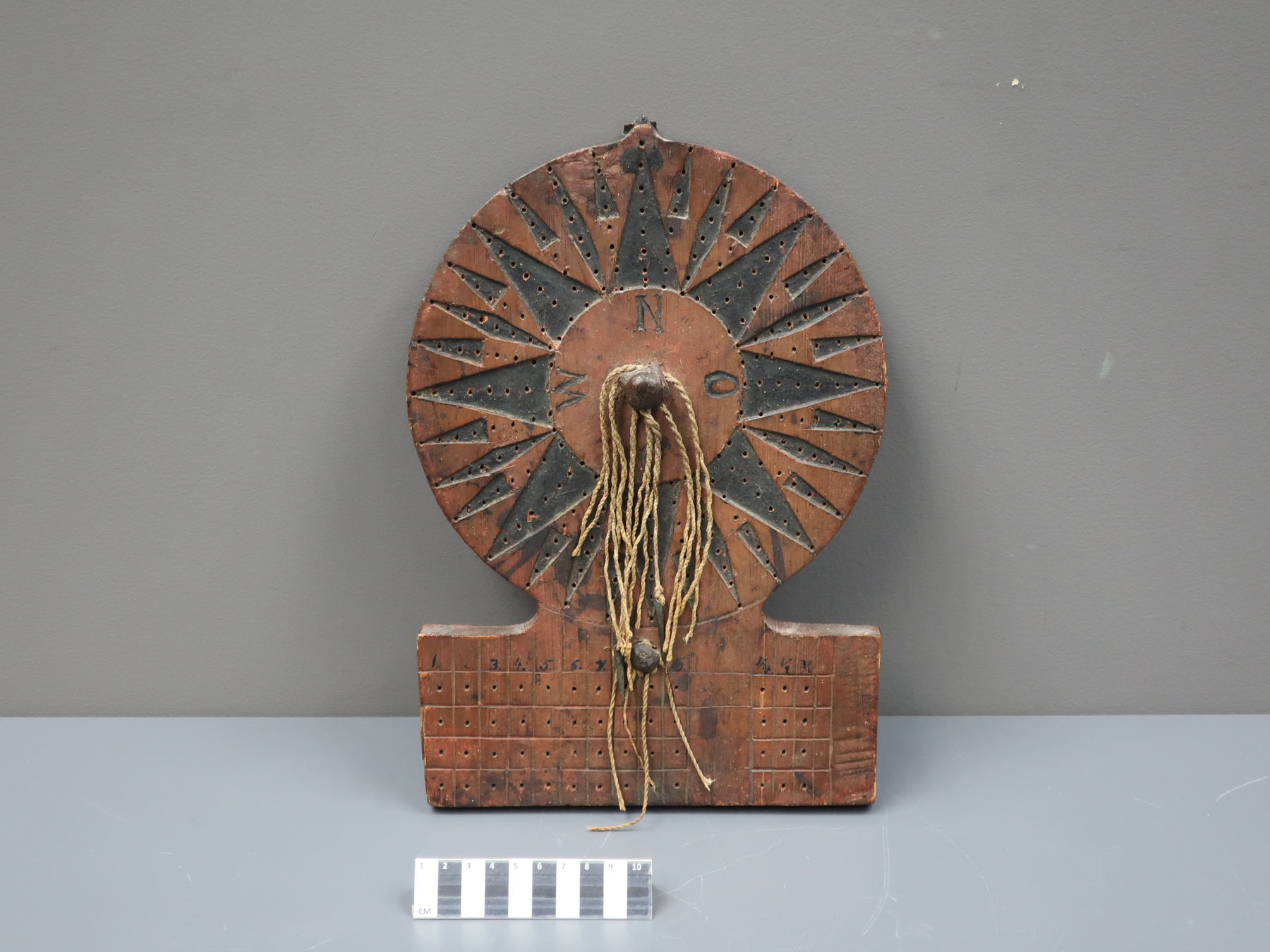
- Wooden board with fibre strings and metal pegs
Dimensions
Remarque : Cette information reflète la taille générale pour l’entreposage et ne représente pas nécessairement les véritables dimensions de l’objet.
- Longueur
- S/O
- Largeur
- S/O
- Hauteur
- S/O
- Épaisseur
- S/O
- Poids
- S/O
- Diamètre
- S/O
- Volume
- S/O
Lexique
- Groupe
- Transports maritimes
- Catégorie
- Instruments et équipement de navigation
- Sous-catégorie
- S/O
Fabricant
- Ou
- Inconnu
- Pays
- Inconnu
- État/province
- Inconnu
- Ville
- Inconnu
Contexte
- Pays
- Inconnu
- État/province
- Inconnu
- Période
- Inconnu
- Canada
-
As part of Britain’s colonial project in British North America during the late 18th and 19th centuries, transportation systems had to be expanded and improved to facilitate (aka exploit) trade. As Babaian notes in the Historical Assessment (HA) Setting Course: A History of Marine Navigation in Canada, “marine transportation was especially important because all transatlantic trade and, until the submarine telegraph cable was laid in 1886, all transatlantic communication depended on it.” (ref. 3) As a result, colonial authorities during this period set about establishing ports (St. John’s, Halifax, Saint John, Quebec), supervising minor improvements to waterways, and undertaking major work projects like improving river channels, building canals, etc. The result was the creation by the British government, in collaboration with colonial authorities, of an administrative framework and structural foundation for improved marine navigation in British North America. Marine navigation instruments, like the traverse board, increased the accuracy of transoceanic transport and where, therefore, fundamental to this colonial development. These technologies were also in higher demand after 1850, as the expansion of settlement and trade produced a notable increase in shipping. “Vessels were needed to both carry exports and imports to their markets and to serve local commercial and transportation.” (ref.3) An increase in the construction and use of ships resulted in a greater need for marine navigation instruments. (From Acquisition Proposal, see Ref. 1) - Fonction
-
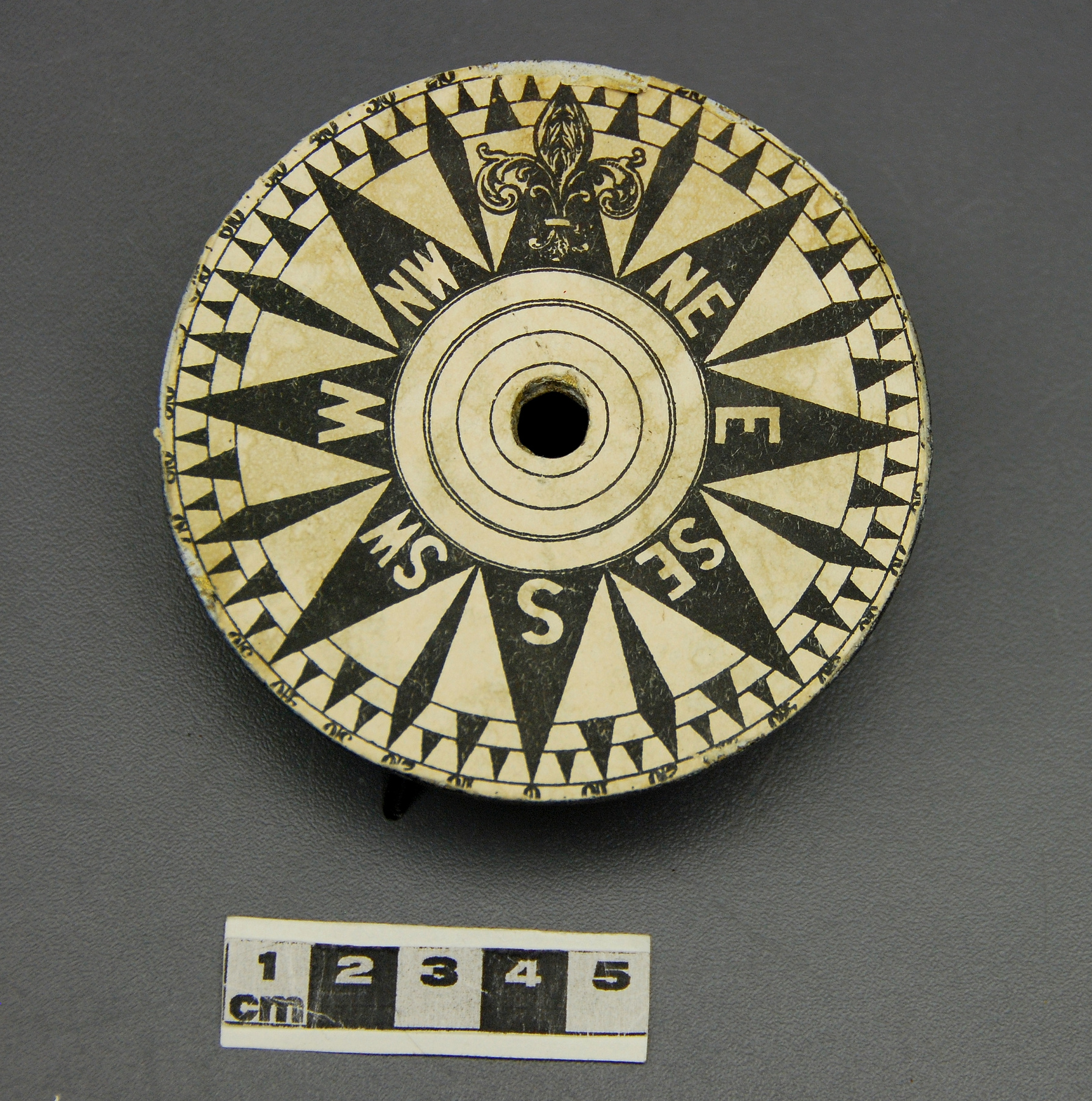
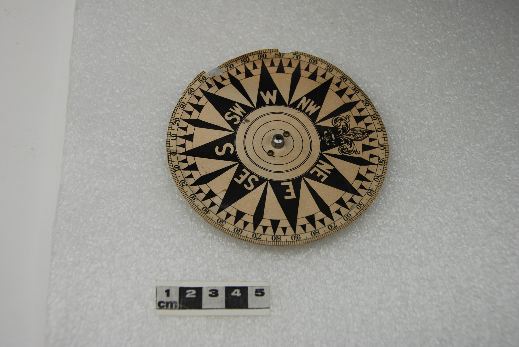
The traverse board was a means for recording a ship’s direction and speed during a defined interval, usually a four-hour watch. The direction of the ship was recorded on the top, round section of the board which was laid out like a compass rose by placing a peg in a hole that corresponded to the course steered as measured by the magnetic compass. In the bottom, rectangular section, the responsible crew member or officer recorded the ship’s speed based on a reading of the log or log-ship. At the end of each four-hour watch, the officer of the watch collected and plotted the information on the chart or other more permanent medium and cleared the board for the next watch. (From Acquisition Proposal, see Ref. 1) - Technique
-
In the 16th century, when Europeans began making long, transoceanic voyages, they discovered that they needed some means by which to record their hourly progress and, at the end of each watch, calculate the distance travelled. This was especially important for explorers crossing the Atlantic and Pacific Oceans because, in the absence of a way to measure longitude, it was the only way to estimate their east-west position. Speed and direction were essential factors that, once known, helped navigators determine this positioning. And central to knowing these factors were scientific instruments like the log, compass, and traverse board. As Sharon Babaian notes in the HA, “Though it came in many forms, the log was usually a piece of wood weighted on one side to make it float upright like a buoy and attached to a long rope called the log-line. The line was knotted at regular intervals, which had to be in the same proportion as a nautical mile as the number of second of the sandglass was to an hour, eventually about 48 feet (15 m) for a 28-second glass. A crewman cast the log out into the water while another held the reel up so the line could run out freely. A third turned the sandglass and when it was empty, stopped the line. As the line was hauled in the knots were counted, giving the ship’s speed in knots per hour. Mariners repeated the operation every 30 minutes and this, along with the compass direction, was recorded on a new form of traverse board that had an extra set of holes at the base to accommodate log readings. This method provided only an estimate of speed, albeit a more accurate and consistent one than before, but, until the advent of chronometers and lunar distance measurements, it was the only way navigators had to keep track of their east/west position at sea.” (Ref. 3) Instrument makers in Northern Europe continued to produce traverse boards into the 19th century long after mariners had access to more accurate measuring and recording devices. Clearly, the boards provided a simple and intuitive means by which to record information on direction and speed for each watch. This would have been especially important in an era when many mariners were illiterate and when many masters of smaller craft who might not have had access the latest navigational equipment. (From Acquisition Proposal, see Ref. 1) - Notes sur la région
-
Inconnu
Détails
- Marques
- In the centre of the compass rose on the proper front: N/ O/ S/ W"/ At the top of 13 columns of four holes: "1./ 2./ 3./ 4./ 5./ 6./ 7./ 8./ [covered by large peg]/ 10./ 1/4/ 1/2/ 3/4"
- Manque
- Missing some pegs and sections of string.
- Fini
- Medium- to dark-brown wood board with black markings and compass rose design on the proper front.
- Décoration
- S/O
FAIRE RÉFÉRENCE À CET OBJET
Si vous souhaitez publier de l’information sur cet objet de collection, veuillez indiquer ce qui suit :
Fabricant inconnu, Renard, vers 1850, Numéro de l'artefact 2018.0112, Ingenium - Musées des sciences et de l'innovation du Canada, http://collection.ingeniumcanada.org/fr/id/2018.0112.001/
RÉTROACTION
Envoyer une question ou un commentaire sur cet artefact.
Plus comme ceci
