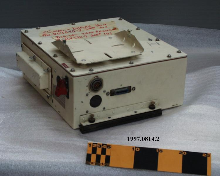
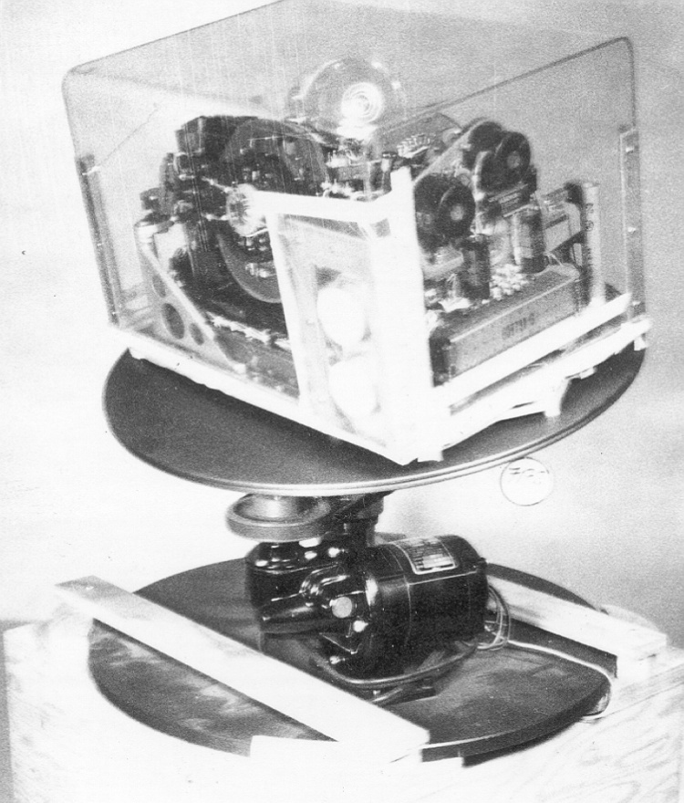
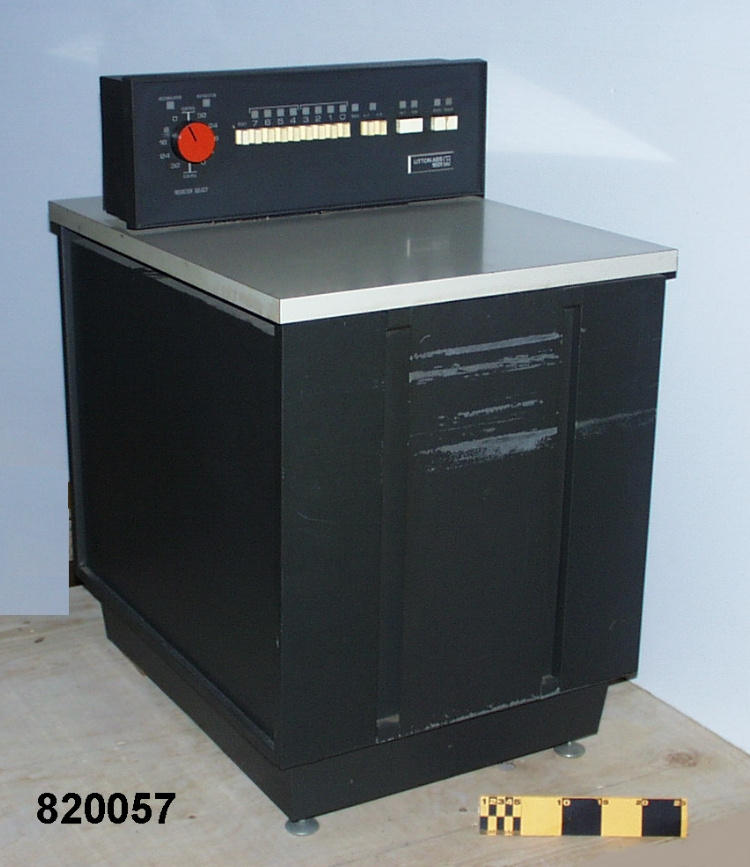
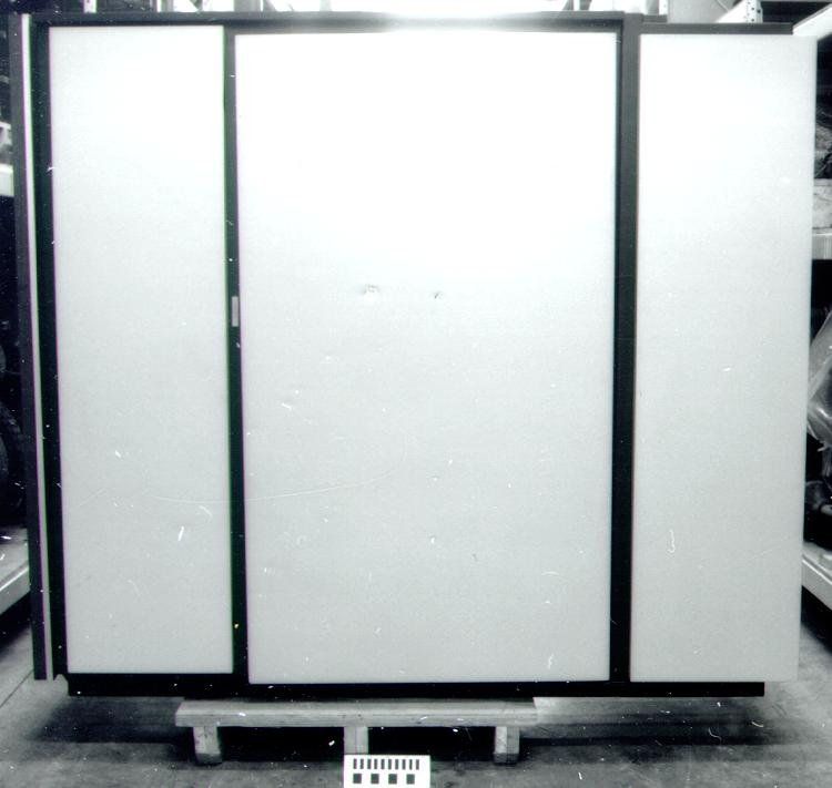
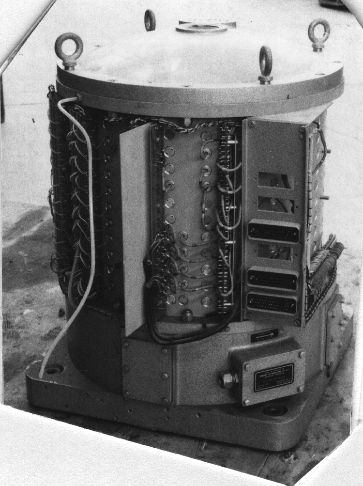
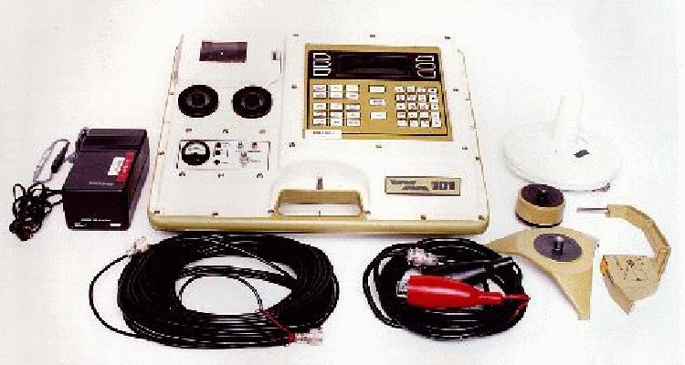
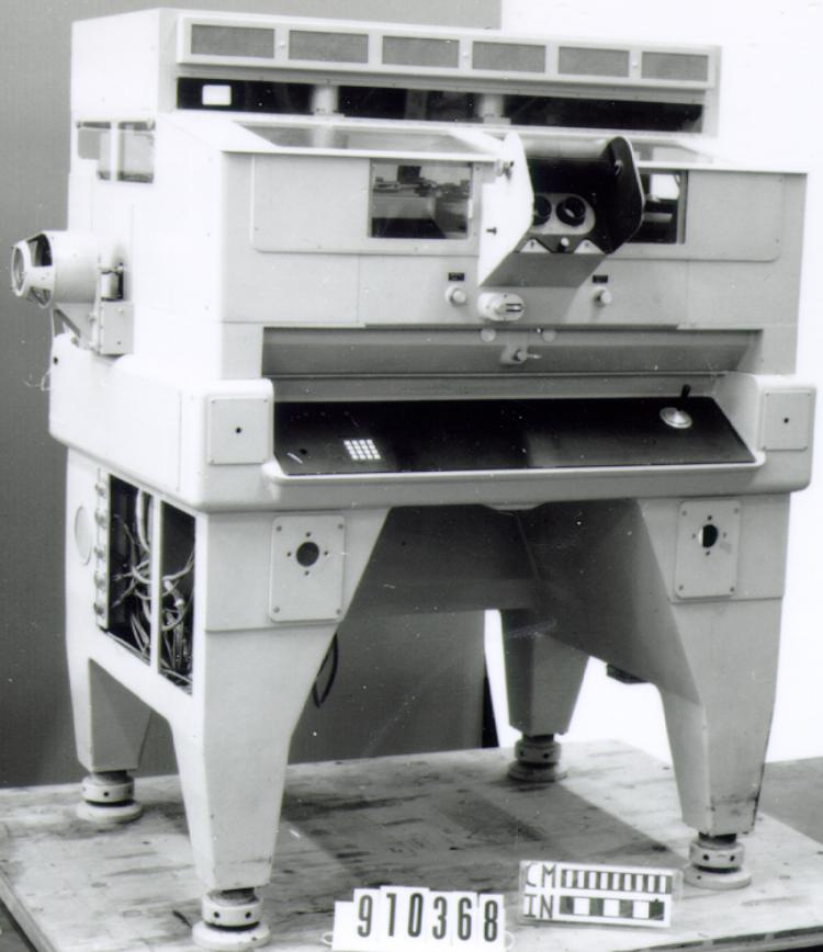
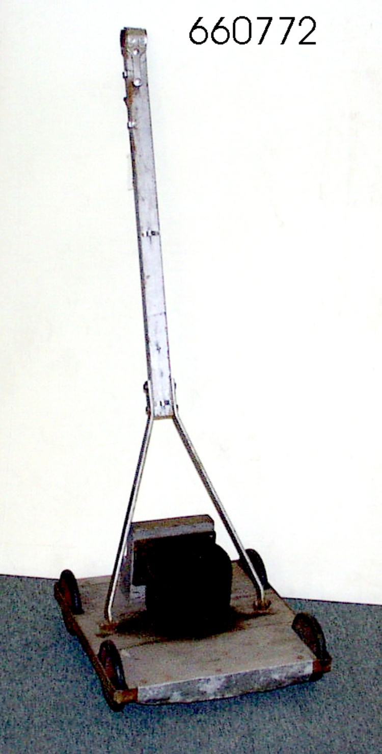
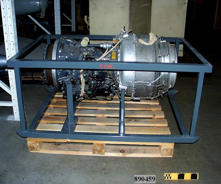
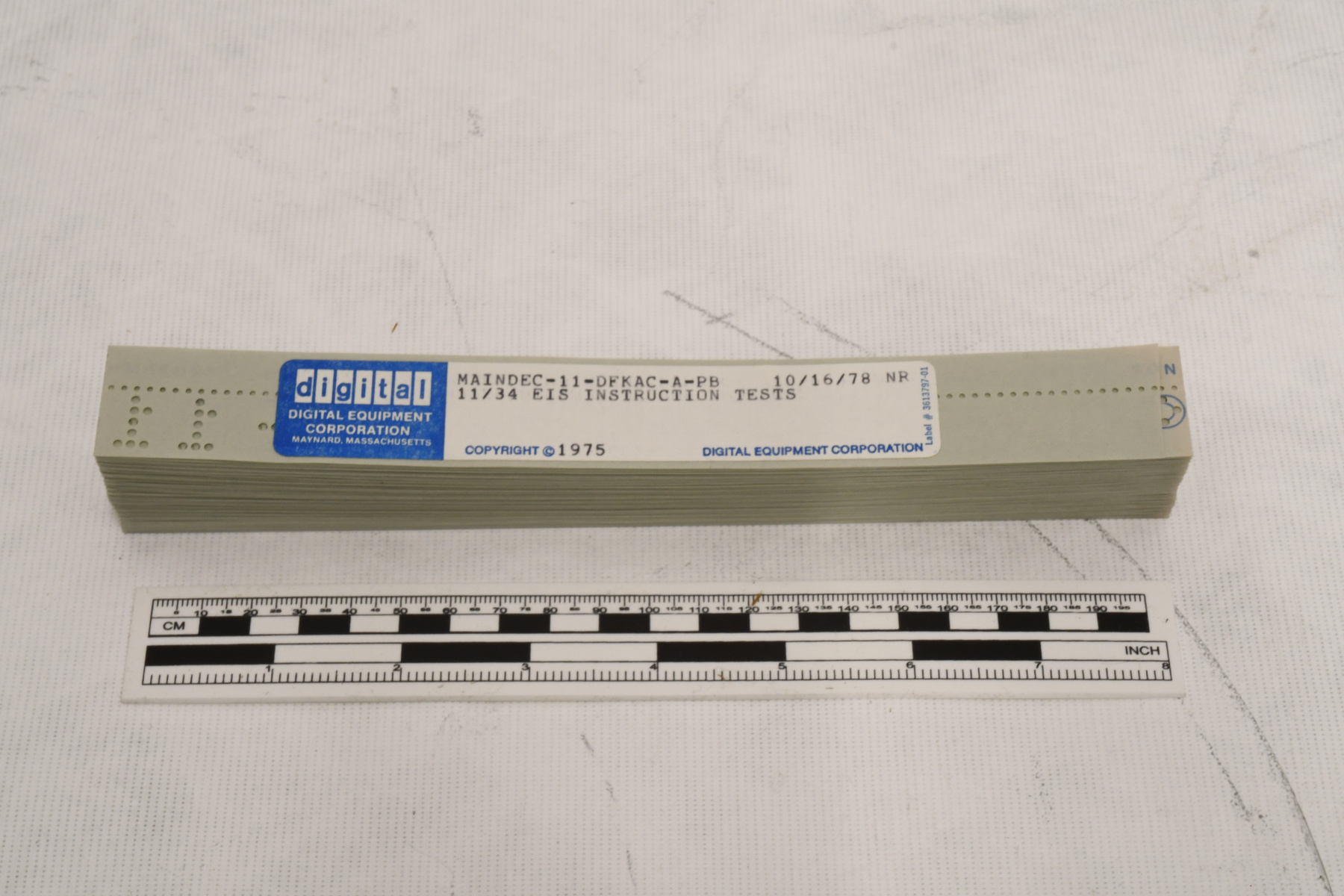
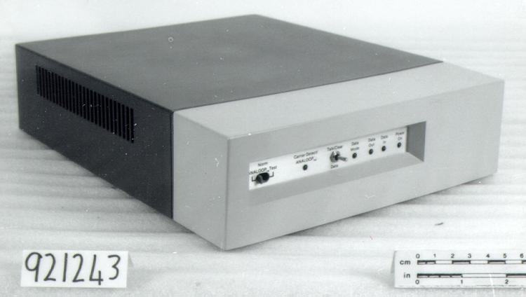
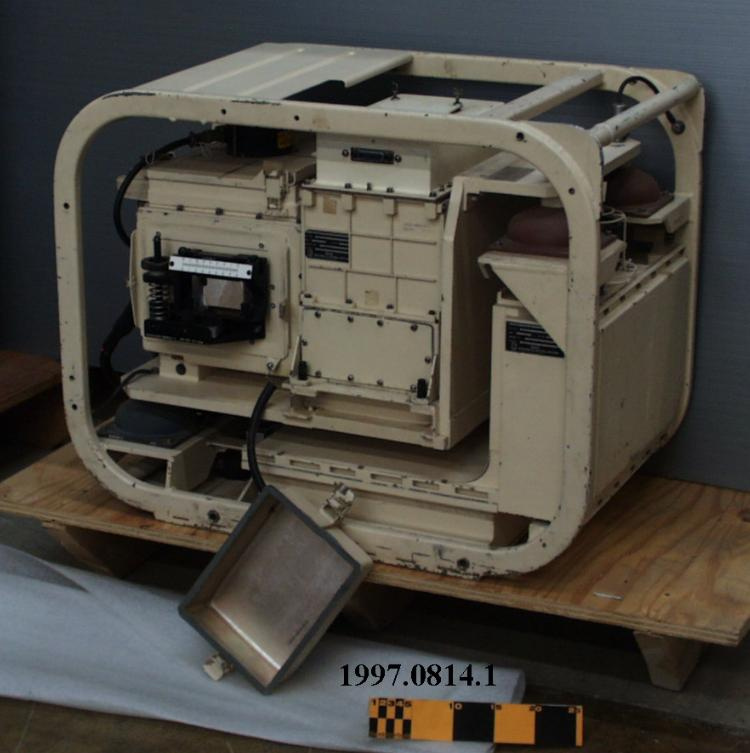
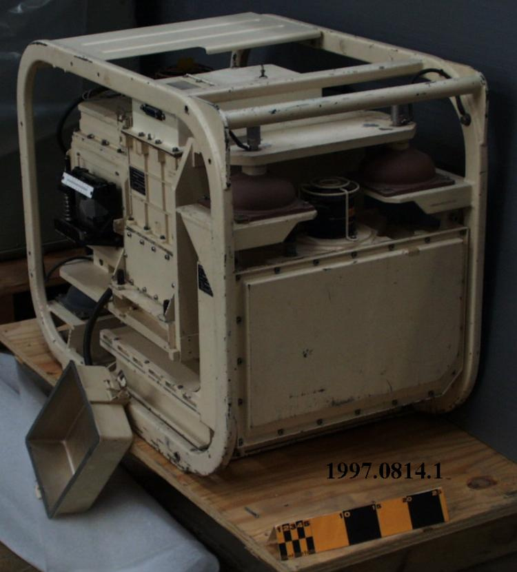
Survey system
Use this image
Can I reuse this image without permission? Yes
Object images on the Ingenium Collection’s portal have the following Creative Commons license:
Copyright Ingenium / CC BY-NC-ND (Attribution-NonCommercial 4.0 International (CC BY-NC 4.0)
ATTRIBUTE THIS IMAGE
Ingenium,
1997.0814.001
Permalink:
Ingenium is releasing this image under the Creative Commons licensing framework, and encourages downloading and reuse for non-commercial purposes. Please acknowledge Ingenium and cite the artifact number.
DOWNLOAD IMAGEPURCHASE THIS IMAGE
This image is free for non-commercial use.
For commercial use, please consult our Reproduction Fees and contact us to purchase the image.
- OBJECT TYPE
- INERTIAL/LAND OR AIR BASED
- DATE
- 1975
- ARTIFACT NUMBER
- 1997.0814.001
- MANUFACTURER
- LITTON GUIDANCE & CONTROL SYSTEMS
- MODEL
- LASS II
- LOCATION
- Woodland Hills, California, United States of America
More Information
General Information
- Serial #
- 101
- Part Number
- 1
- Total Parts
- 3
- AKA
- N/A
- Patents
- N/A
- General Description
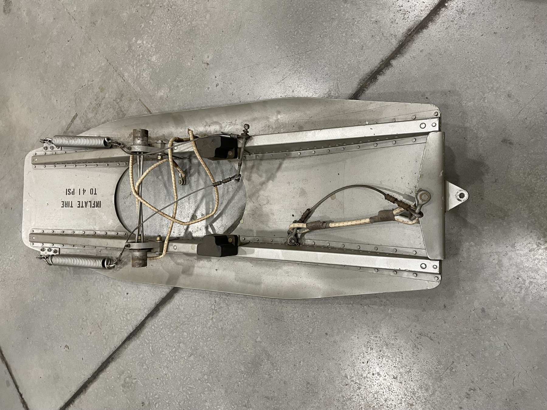
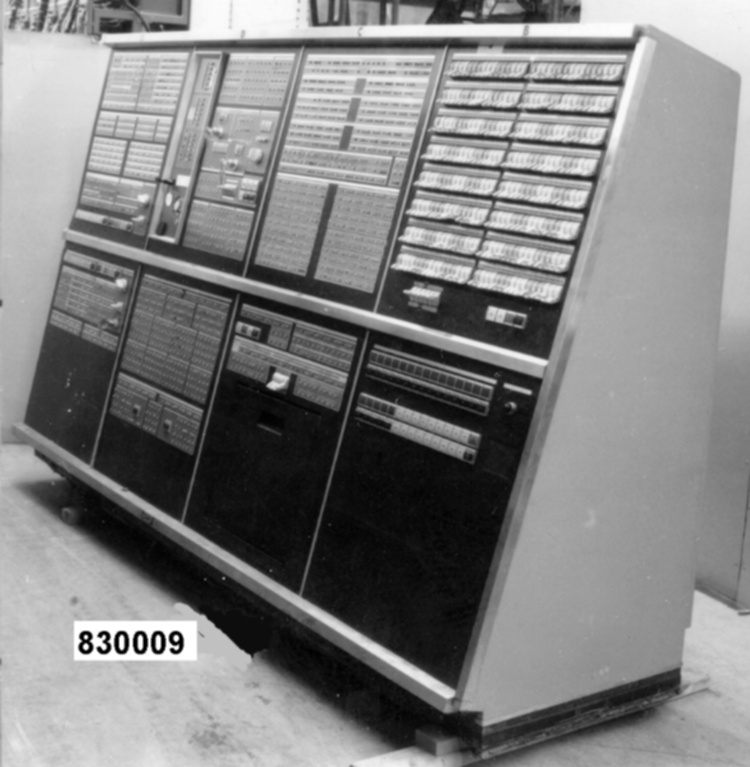
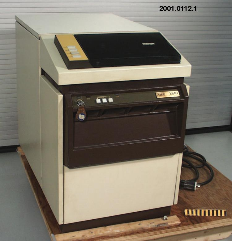
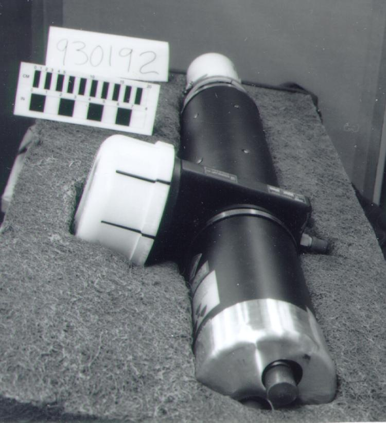
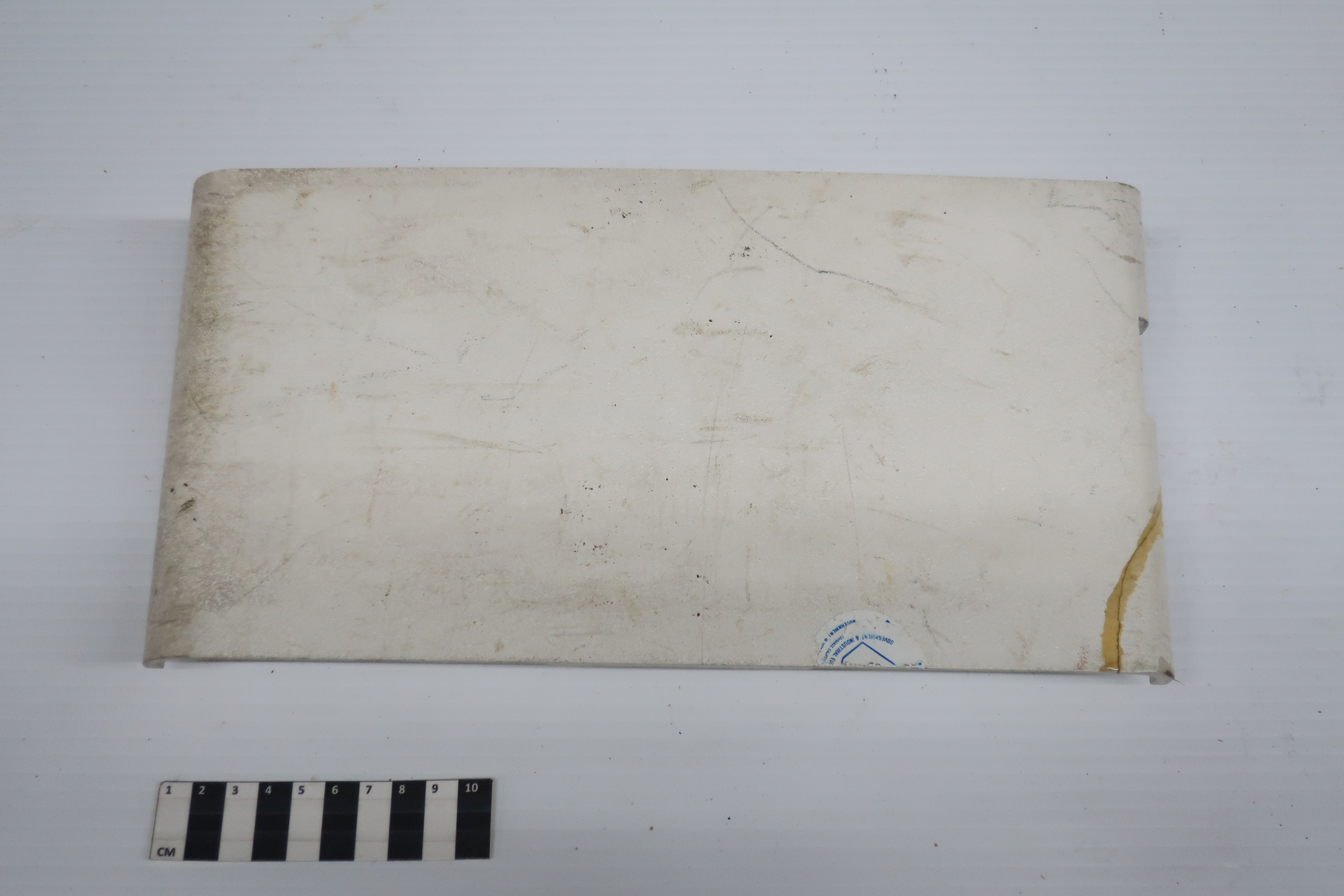
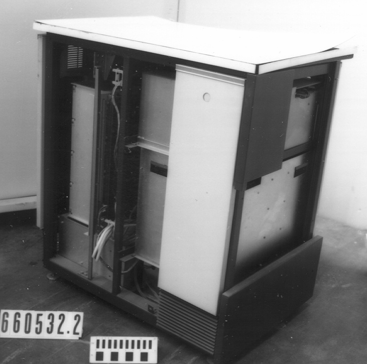
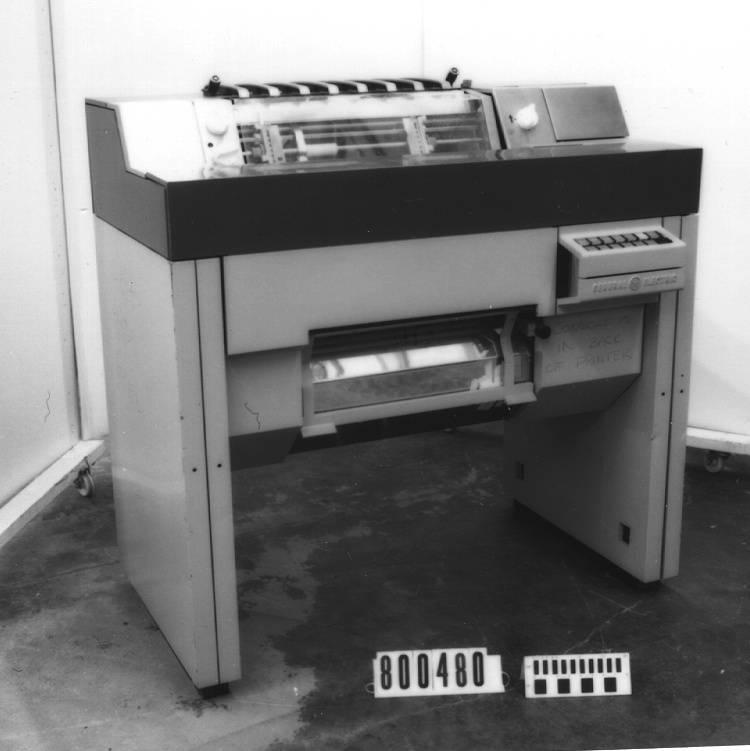
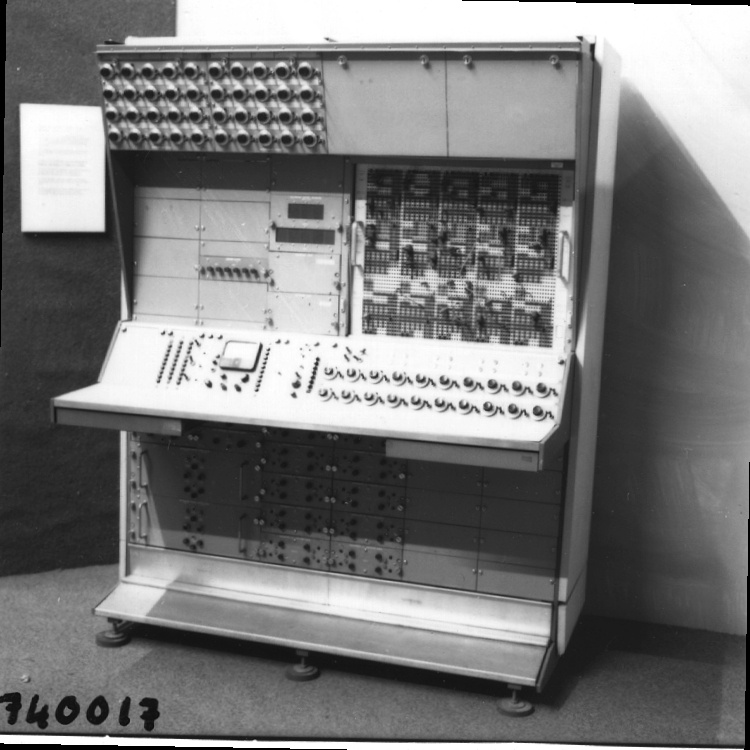
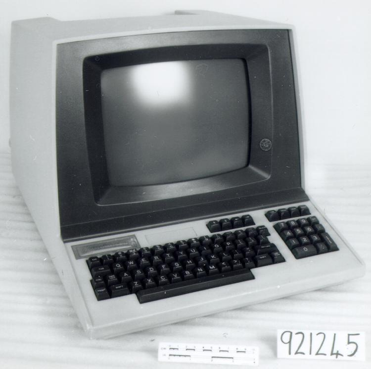
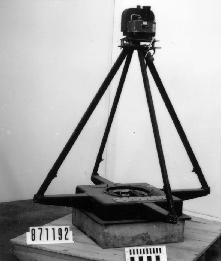
- METAL, WITH SOME SYNTHETIC & RUBBER FITTINGS.
Dimensions
Note: These reflect the general size for storage and are not necessarily representative of the object's true dimensions.
- Length
- 78.0 cm
- Width
- 55.0 cm
- Height
- 58.5 cm
- Thickness
- N/A
- Weight
- N/A
- Diameter
- N/A
- Volume
- N/A
Lexicon
- Group
- Exploration and Survey
- Category
- Measurement-position
- Sub-Category
- N/A
Manufacturer
- AKA
- LITTON
- Country
- United States of America
- State/Province
- California
- City
- Woodland Hills
Context
- Country
- Canada
- State/Province
- Unknown
- Period
- THIS SYSTEM IN USE 1975- C. 1980. THIS TYPE IN USE 1975- EARLY 1980S.
- Canada
-
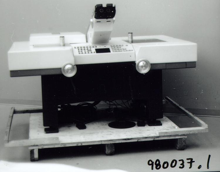
FIRST INERTIAL SURVEY SYSTEM ACQUIRED BY GEODETIC SURVEY OF CANADA. ALSO KNOWN (IN CANADA) AS THE "ISS" (INERTIAL SURVEY SYSTEM), THIS TYPE OF EQUIPMENT WAS USED FOR SURVEY WORK ON THE PRAIRIES, AND ON THE MASSIVE QUEBEC HYDRO PROJECTS OF LATE 1970S-EARLY 1980S. (REF. 1) - Function
-
USED TO COMPUTE THE GEODETIC COORDINATES AND ELEVATION OF A GIVEN POINT. - Technical
-
THIS INTERIAL SURVEY SYSTEM SENSES ITS OWN MOVEMENTS AND USES THESE TO COMPUTE THE GEODETIC COORDINATES AND ELEVATION OF ANY STOPPING POINT, BASED ON THE COORDINATES OF THE STARTING POINT. IMPERFECT KNOWLEDGE OF THE ANAMALOUS GRAVITATIONAL FIELD AFFECTS THE PERFORMANCE AND ACCURACY OF THE ACCELEROMETERS. (REF.1) - Area Notes
-
Unknown
Details
- Markings
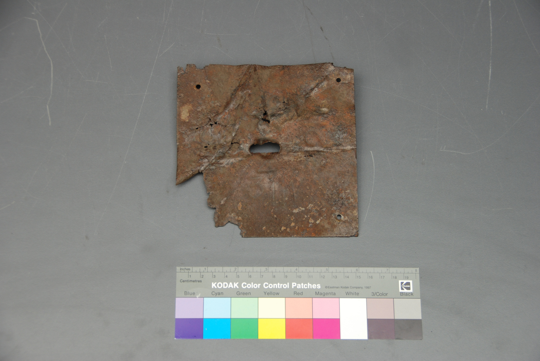
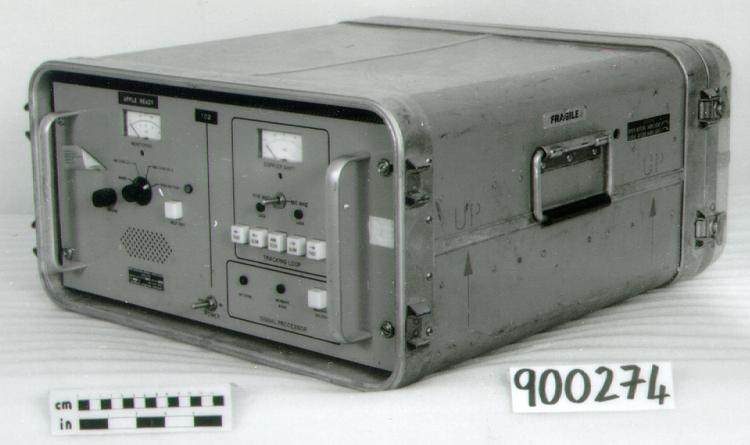
- Main or master plate marked "LASS II SYSTEM/ PART NO. 786401-2/ PROJ. LASS II SER. NO. 101/ CONTRACT NO. CANADIAN FORCES/ FSN/NSN [blank]/ 06481/ [logo] Litton/ GUIDANCE & CONTROL SYSTEMS/ Woodland Hills, California 91364". NB: each of 5 main components bears mfr's plate with identical markings, save component name, part no. & FSN/NSN no., as well as assembly numbers, connection or port labels, etc. Mfr's plate on IMU is identical to main plate, save "INERTIAL MEASUREMENT UNIT", "PART NO. 864530-5" and "FSN/NSN MSN 01-1141". Mfr's plate on DM/GPIB is identical to main plate, save "DIRECT MEMORY ACCESS", "PART NO. 864560-2", "FSN/NSN [blank] "./ computer component: Mfr's plate is identical to main plate, save "COMPUTER", "PART NO. 864535-5" and "FSN/NSN MSN 01-1130"./ power supply: Mfr's plate is identical to main plate, save "POWER SUPPLY", "PART NO. 864540–3", and "FSN/NSN 01-1133"./ mounting base: No mfr's plate or other markings on this component.
- Missing
- UNKNOWN. MAJOR COMPONENTS ARE PRESENT, AND APPEAR TO BE COMPLETE.
- Finish
- OFF-WHITE ENAMEL FINISH ON MOST SURFACES; RED-BROWN, BLACK AND/OR GREY COMPONENTS.
- Decoration
- N/A
CITE THIS OBJECT
If you choose to share our information about this collection object, please cite:
LITTON GUIDANCE & CONTROL SYSTEMS, Survey system, circa 1975, Artifact no. 1997.0814, Ingenium – Canada’s Museums of Science and Innovation, http://collection.ingeniumcanada.org/en/item/1997.0814.001/
FEEDBACK
Submit a question or comment about this artifact.
More Like This
